Lubumbashi night lights from space
Night Light of Lubumbashi (Haut-Katanga) from space (Democratic Republic of the Congo) Src. Average luminocity for 10x10km area is 89.3983% and for 50x50km: 9.341%.
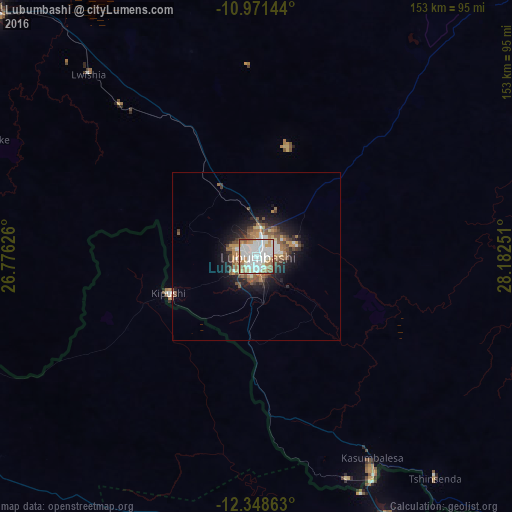
Analysis of Lubumbashi night lights 2016
Square area 10x10 km:
 41.56%
90-99
24.24%80-89
11.04%70-79
6.28%60-69
10.17%50-59
6.49%40-49
0.22%30-39
0%20-29
0%10-19
0%0-9
0%Square area 50x50 km:
1.97%90-99
1.49%80-89
0.78%70-79
1.12%60-69
1.39%50-59
1.92%40-49
1.31%30-39
0.87%20-29
1.98%10-19
4.77%0-9
82.41%Clear (daylight) street map image can be seen on geolist.org.
Map coordinates:
10° 58' 17.2" South, 26° 46' 34.5" East
11° 39' 39.2" South, 27° 28' 45.8" East
12° 20' 55.1" South, 28° 10' 57" East
Some cities around Lubumbashi sort by population:
• Likasi
110.5 km =68.7 mi,  313°
313°
• Chingola, ZM
106.1 km =65.9 mi,  155°
155°
• Mufulira, ZM
128.9 km =80.1 mi,  140°
140°
• Kipushi
27.2 km =16.9 mi,  245°
245°
• Chililabombwe, ZM
86.7 km =53.9 mi,  154°
154°
• Kansanshi, ZM
124.2 km =77.2 mi, 247°
• Kambove
130.1 km =80.8 mi, 312°
• Chambishi, ZM
124.8 km =77.5 mi, 149°
922704 (p: 1,373,770)
Sources (retrieved 2019-11-25):
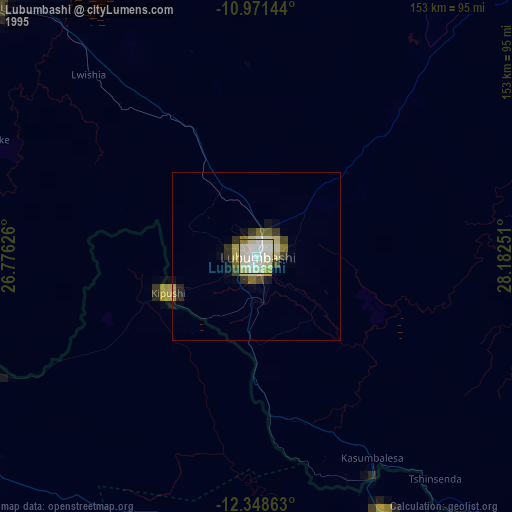
» NASA, Earths city lights 1995
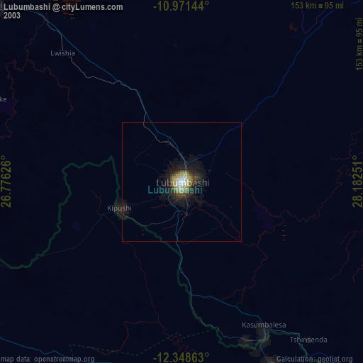
» NASA city lights 2003
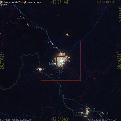
» Earth at Night: Flat Maps 2012, 2016