Chililabombwe night lights from space
Night Light of Chililabombwe (Copperbelt) from space (Zambia) Src. Average luminocity for 10x10km area is 23.6488% and for 50x50km: 5.3104%.
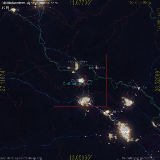
Analysis of Chililabombwe night lights 2016
Square area 10x10 km:
 5.17%
5.17%90-99
3.93%80-89
2.48%70-79
2.89%60-69
2.07%50-59
4.13%40-49
0.41%30-39
1.65%20-29
1.86%10-19
18.18%0-9
57.23%Square area 50x50 km:
0.75%90-99
0.9%80-89
0.41%70-79
0.51%60-69
0.88%50-59
0.88%40-49
0.63%30-39
0.62%20-29
0.99%10-19
3.45%0-9
89.97%Clear (daylight) street map image can be seen on geolist.org.
Map coordinates:
11° 40' 37.4" South, 27° 7' 11.1" East
12° 21' 53.1" South, 27° 49' 22.3" East
13° 3' 2.3" South, 28° 31' 33.6" East
Some cities around Chililabombwe sort by population:
• Lubumbashi, CD
86.7 km =53.9 mi,  334°
334°
• Kitwe
64.5 km =40.1 mi,  138°
138°
• Chingola
19.4 km =12.1 mi,  160°
160°
• Mufulira
49.8 km =30.9 mi,  114°
114°
• Luanshya
107.3 km =66.7 mi, 143°
• Kalulushi
60.7 km =37.7 mi,  150°
150°
• Kipushi, CD
91.5 km =56.9 mi,  317°
317°
• Chambishi
38.9 km =24.2 mi, 139°
919544 (p: 57,328)
Sources (retrieved 2019-11-25):
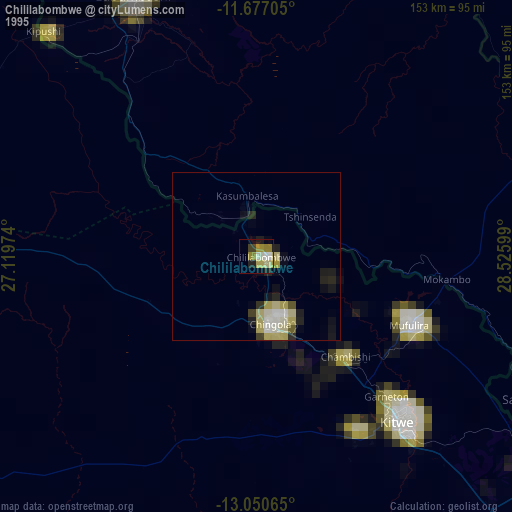
» NASA, Earths city lights 1995
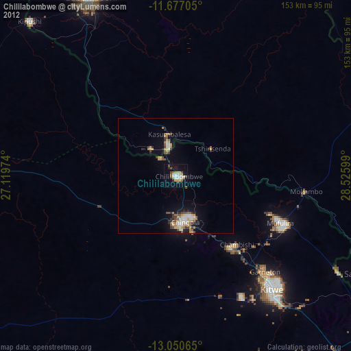
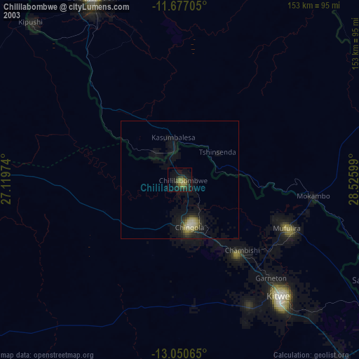
» NASA city lights 2003
» Earth at Night: Flat Maps 2012, 2016