Lundazi night lights from space
Night Light of Lundazi (Eastern) from space (Zambia) Src. Average luminocity for 10x10km area is 8.8017% and for 50x50km: 0.3985%.
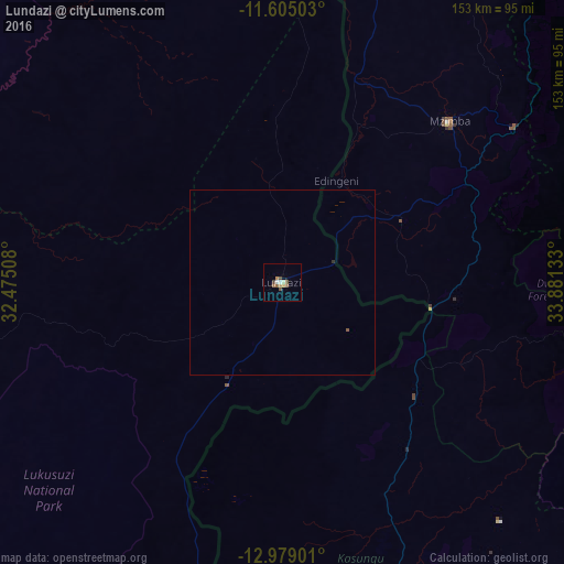
Analysis of Lundazi night lights 2016
Square area 10x10 km:
 0.83%
0.83%90-99
1.03%80-89
0.62%70-79
2.27%60-69
1.03%50-59
2.69%40-49
2.27%30-39
0%20-29
0%10-19
0%0-9
89.26%Square area 50x50 km:
0.03%90-99
0.04%80-89
0.03%70-79
0.09%60-69
0.04%50-59
0.13%40-49
0.1%30-39
0.01%20-29
0.03%10-19
0%0-9
99.49%Clear (daylight) street map image can be seen on geolist.org.
Map coordinates:
11° 36' 18.1" South, 32° 28' 30.3" East
12° 17' 34.5" South, 33° 10' 41.5" East
12° 58' 44.4" South, 33° 52' 52.8" East
Some cities around Lundazi sort by population:
• Mzuzu, MW
129.9 km =80.7 mi,  44°
44°
• Chipata
159.7 km =99.2 mi,  201°
201°
• Kasungu, MW
88.7 km =55.1 mi,  158°
158°
• Nkhotakota, MW
140.3 km =87.2 mi,  120°
120°
• Mzimba, MW
63.3 km =39.3 mi,  46°
46°
• Nkhata Bay, MW
143.1 km =88.9 mi,  57°
57°
• Mponela, MW
150.6 km =93.6 mi, 156°
• Ntchisi, MW
158.8 km =98.7 mi,  149°
149°
909299 (p: 11,635)
Sources (retrieved 2019-11-25):
» Earth at Night: Flat Maps 2012, 2016