Nkhotakota night lights from space
Night Light of Nkhotakota (Central Region) from space (Malawi) Src. Average luminocity for 10x10km area is 5.316% and for 50x50km: 0.2105%.

Analysis of Nkhotakota night lights 2016
Square area 10x10 km:
 0%
0%90-99
0.87%80-89
0%70-79
0%60-69
2.6%50-59
1.73%40-49
0.87%30-39
1.3%20-29
1.3%10-19
0.87%0-9
90.48%Square area 50x50 km:
0%90-99
0.03%80-89
0%70-79
0%60-69
0.1%50-59
0.07%40-49
0.03%30-39
0.05%20-29
0.05%10-19
0.03%0-9
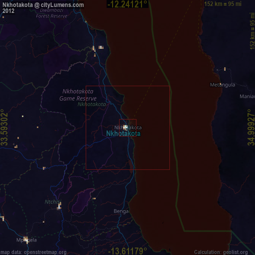
99.63%Clear (daylight) street map image can be seen on geolist.org.
Map coordinates:
12° 14' 28.4" South, 33° 35' 34.9" East
12° 55' 38.8" South, 34° 17' 46.1" East
13° 36' 42.4" South, 34° 59' 57.4" East
Some cities around Nkhotakota sort by population:
• Lilongwe
128 km =79.5 mi,  205°
205°
• Lichinga, MZ
110.9 km =68.9 mi,  112°
112°
• Kasungu
88.9 km =55.2 mi,  262°
262°
• Salima
96.5 km =60 mi,  169°
169°
• Mzimba
137 km =85.1 mi,  326°
326°
• Mponela
90.2 km =56 mi,  221°
221°
• Ntchisi
78.5 km =48.8 mi, 211°
• Dowa
89.6 km =55.7 mi, 205°
924705 (p: 24,865)
Sources (retrieved 2019-11-25):
» Earth at Night: Flat Maps 2012, 2016