Kasungu night lights from space
Night Light of Kasungu (Central Region) from space (Malawi) Src. Average luminocity for 10x10km area is 9.9632% and for 50x50km: 0.5144%.
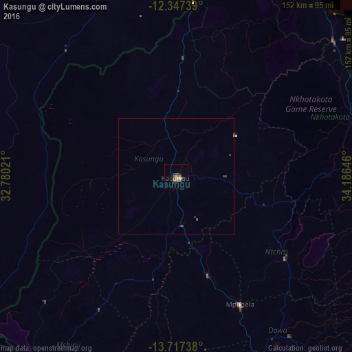
Analysis of Kasungu night lights 2016
Square area 10x10 km:
 0%
0%90-99
1.73%80-89
0%70-79
1.95%60-69
1.95%50-59
3.03%40-49
1.73%30-39
2.6%20-29
2.6%10-19
0%0-9
84.42%Square area 50x50 km:
0%90-99
0.07%80-89
0%70-79
0.08%60-69
0.08%50-59
0.15%40-49
0.17%30-39
0.14%20-29
0.16%10-19
0%0-9
99.15%Clear (daylight) street map image can be seen on geolist.org.
Map coordinates:
12° 20' 50.6" South, 32° 46' 48.8" East
13° 1' 60" South, 33° 28' 60" East
13° 43' 2.6" South, 34° 11' 11.3" East
Some cities around Kasungu sort by population:
• Lilongwe
108.9 km =67.7 mi,  162°
162°
• Chipata, ZM
112.2 km =69.7 mi,  233°
233°
• Nkhotakota
88.9 km =55.2 mi,  82°
82°
• Mchinji
107.2 km =66.6 mi,  217°
217°
• Lundazi, ZM
88.7 km =55.1 mi,  338°
338°
• Mponela
62 km =38.5 mi,  153°
153°
• Ntchisi
72.1 km =44.8 mi,  139°
139°
• Dowa
84.7 km =52.6 mi, 144°
928534 (p: 42,555)
Sources (retrieved 2019-11-25):
» Earth at Night: Flat Maps 2012, 2016