Mponela night lights from space
Night Light of Mponela (Central Region) from space (Malawi) Src. Average luminocity for 10x10km area is 5.3099% and for 50x50km: 0.4358%.
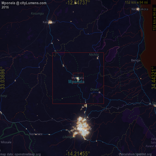
Analysis of Mponela night lights 2016
Square area 10x10 km:
 0.41%
0.41%90-99
0.41%80-89
0%70-79
1.65%60-69
0.83%50-59
1.65%40-49
0.83%30-39
1.65%20-29
0.83%10-19
0%0-9
91.74%Square area 50x50 km:
0.02%90-99
0.02%80-89
0%70-79
0.07%60-69
0.07%50-59
0.16%40-49
0.14%30-39
0.14%20-29
0.12%10-19
0.15%0-9
99.12%Clear (daylight) street map image can be seen on geolist.org.
Map coordinates:
12° 50' 50.5" South, 33° 2' 13.1" East
13° 31' 55" South, 33° 44' 24.3" East
14° 12' 52.4" South, 34° 26' 35.6" East
Some cities around Mponela sort by population:
• Lilongwe
48.6 km =30.2 mi,  173°
173°
• Kasungu
62 km =38.5 mi,  333°
333°
• Salima
82.4 km =51.2 mi,  109°
109°
• Nkhotakota
90.2 km =56 mi,  41°
41°
• Mchinji
97.5 km =60.6 mi,  252°
252°
• Dedza
113.8 km =70.7 mi,  145°
145°
• Ntchisi
18.9 km =11.7 mi,  88°
88°
• Dowa
25.3 km =15.7 mi,  122°
122°
926087 (p: 11,222)
Sources (retrieved 2019-11-25):
» Earth at Night: Flat Maps 2012, 2016