Chipata night lights from space
Night Light of Chipata (Eastern) from space (Zambia) Src. Average luminocity for 10x10km area is 45.8202% and for 50x50km: 2.911%.
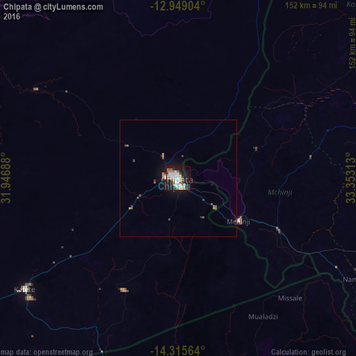
Analysis of Chipata night lights 2016
Square area 10x10 km:
 10.74%
90-99
12.19%80-89
2.48%70-79
3.1%60-69
7.64%50-59
7.02%40-49
2.27%30-39
4.13%20-29
10.54%10-19
32.85%0-9
7.02%Square area 50x50 km:
0.45%90-99
0.53%80-89
0.12%70-79
0.24%60-69
0.41%50-59
0.55%40-49
0.37%30-39
0.33%20-29
0.45%10-19
2.8%0-9
93.75%Clear (daylight) street map image can be seen on geolist.org.
Map coordinates:
12° 56' 56.5" South, 31° 56' 48.8" East
13° 37' 60" South, 32° 39' 0" East
14° 18' 56.3" South, 33° 21' 11.3" East
Some cities around Chipata sort by population:
• Lilongwe, MW
128.3 km =79.7 mi,  106°
106°
• Kasungu, MW
112.2 km =69.7 mi,  53°
53°
• Petauke
158.7 km =98.6 mi,  244°
244°
• Mchinji, MW
30.9 km =19.2 mi,  126°
126°
• Lundazi
159.7 km =99.2 mi,  21°
21°
• Mponela, MW
118.4 km =73.6 mi,  84°
84°
• Ntchisi, MW
137.2 km =85.3 mi,  85°
85°
• Dowa, MW
139.1 km =86.4 mi, 90°
918702 (p: 85,963)
Sources (retrieved 2019-11-25):
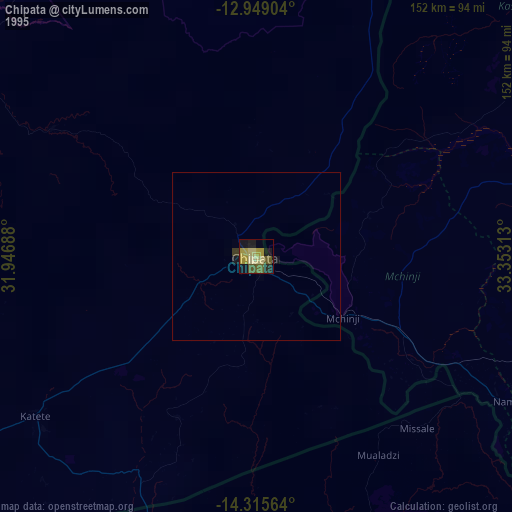
» NASA, Earths city lights 1995
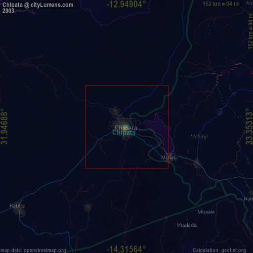
» NASA city lights 2003
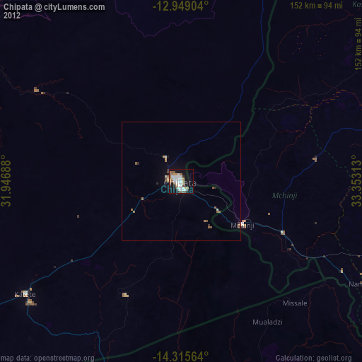
» Earth at Night: Flat Maps 2012, 2016