Mzimba night lights from space
Night Light of Mzimba (Northern Region) from space (Malawi) Src. Average luminocity for 10x10km area is 6.4174% and for 50x50km: 0.3366%.
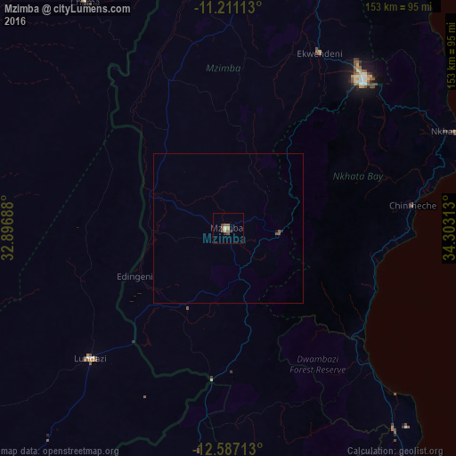
Analysis of Mzimba night lights 2016
Square area 10x10 km:
 0.41%
0.41%90-99
0.41%80-89
0.83%70-79
0%60-69
1.03%50-59
3.93%40-49
1.03%30-39
1.65%20-29
0.62%10-19
0%0-9
90.08%Square area 50x50 km:
0.02%90-99
0.02%80-89
0.03%70-79
0%60-69
0.04%50-59
0.26%40-49
0.04%30-39
0.07%20-29
0.06%10-19
0.03%0-9
99.43%Clear (daylight) street map image can be seen on geolist.org.
Map coordinates:
11° 12' 40.1" South, 32° 53' 48.8" East
11° 54' 0" South, 33° 36' 0" East
12° 35' 13.7" South, 34° 18' 11.3" East
Some cities around Mzimba sort by population:
• Mzuzu
66.6 km =41.4 mi,  43°
43°
• Kasungu
126.6 km =78.7 mi,  185°
185°
• Nkhotakota
137 km =85.1 mi,  146°
146°
• Rumphi
101.9 km =63.3 mi,  15°
15°
• Liuli, TZ
144.6 km =89.9 mi,  51°
51°
• Nkhata Bay
82 km =51 mi,  66°
66°
• Lundazi, ZM
63.3 km =39.3 mi,  226°
226°
• Mbamba Bay, TZ
144.4 km =89.7 mi,  61°
61°
925498 (p: 19,308)
Sources (retrieved 2019-11-25):
» Earth at Night: Flat Maps 2012, 2016