Mzuzu night lights from space
Night Light of Mzuzu (Northern Region) from space (Malawi) Src. Average luminocity for 10x10km area is 37.7424% and for 50x50km: 2.0626%.
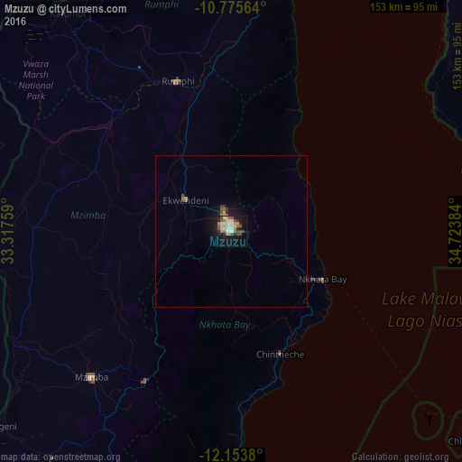
Analysis of Mzuzu night lights 2016
Square area 10x10 km:
 3.46%
3.46%90-99
8.87%80-89
7.79%70-79
3.46%60-69
1.95%50-59
7.79%40-49
8.23%30-39
1.3%20-29
6.28%10-19
27.06%0-9
23.81%Square area 50x50 km:
0.13%90-99
0.34%80-89
0.33%70-79
0.2%60-69
0.13%50-59
0.46%40-49
0.37%30-39
0.16%20-29
0.33%10-19
1.93%0-9
95.6%Clear (daylight) street map image can be seen on geolist.org.
Map coordinates:
10° 46' 32.3" South, 33° 19' 3.3" East
11° 27' 56" South, 34° 1' 14.6" East
12° 9' 13.7" South, 34° 43' 25.8" East
Some cities around Mzuzu sort by population:
• Mbinga, TZ
123.7 km =76.9 mi,  61°
61°
• Rumphi
52.8 km =32.8 mi,  340°
340°
• Mzimba
66.6 km =41.4 mi,  223°
223°
• Tingi, TZ
111.9 km =69.5 mi,  80°
80°
• Liuli, TZ
79.2 km =49.2 mi, 57°
• Nkhata Bay
33.3 km =20.7 mi,  118°
118°
• Mbamba Bay, TZ
83.8 km =52.1 mi, 76°
• Livingstonia
96 km =59.7 mi,  5°
5°
925475 (p: 175,345)
Sources (retrieved 2019-11-25):
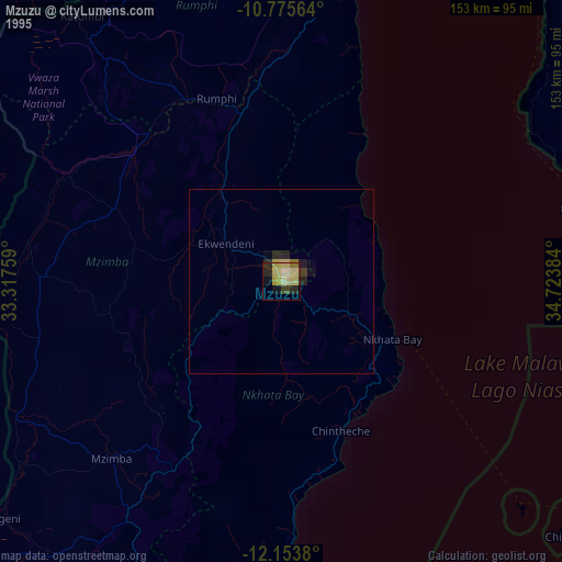
» NASA, Earths city lights 1995
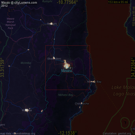
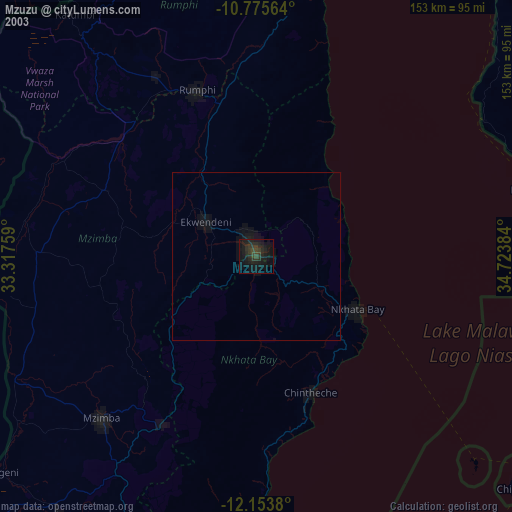
» NASA city lights 2003
» Earth at Night: Flat Maps 2012, 2016