Nkhata Bay night lights from space
Night Light of Nkhata Bay (Northern Region) from space (Malawi) Src. Average luminocity for 10x10km area is 2.2684% and for 50x50km: 0.1627%.
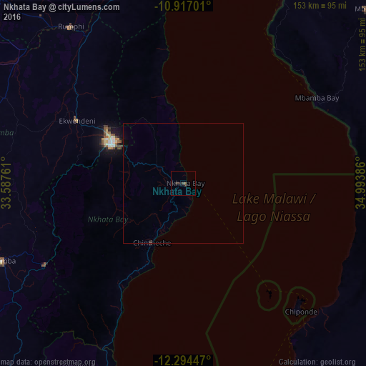
Analysis of Nkhata Bay night lights 2016
Square area 10x10 km:
 0%
0%90-99
0%80-89
0%70-79
0%60-69
0.87%50-59
0%40-49
0.87%30-39
2.6%20-29
0.22%10-19
1.52%0-9
93.94%Square area 50x50 km:
0%90-99
0%80-89
0%70-79
0%60-69
0.03%50-59
0.02%40-49
0.03%30-39
0.1%20-29
0.04%10-19
0.07%0-9
99.71%Clear (daylight) street map image can be seen on geolist.org.
Map coordinates:
10° 55' 1.2" South, 33° 35' 15.4" East
11° 36' 23.7" South, 34° 17' 26.6" East
12° 17' 40.1" South, 34° 59' 37.9" East
Some cities around Nkhata Bay sort by population:
• Mzuzu
33.3 km =20.7 mi,  298°
298°
• Mbinga, TZ
109 km =67.7 mi,  46°
46°
• Rumphi
80.7 km =50.1 mi,  324°
324°
• Mzimba
82 km =51 mi,  246°
246°
• Tingi, TZ
87.8 km =54.6 mi,  67°
67°
• Liuli, TZ
69.1 km =42.9 mi,  32°
32°
• Mbamba Bay, TZ
63.1 km =39.2 mi,  55°
55°
• Livingstonia
113.1 km =70.3 mi,  349°
349°
924732 (p: 11,721)
Sources (retrieved 2019-11-25):
» Earth at Night: Flat Maps 2012, 2016