Mkushi night lights from space
Night Light of Mkushi (Central) from space (Zambia) Src. Average luminocity for 10x10km area is 15.2273% and for 50x50km: 0.7166%.
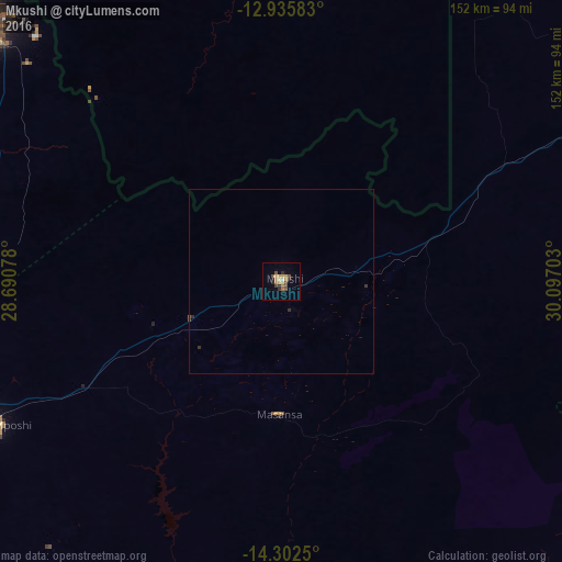
Analysis of Mkushi night lights 2016
Square area 10x10 km:
 0%
0%90-99
0.83%80-89
1.86%70-79
4.75%60-69
3.31%50-59
2.27%40-49
3.31%30-39
2.27%20-29
2.89%10-19
0%0-9
78.51%Square area 50x50 km:
0%90-99
0.03%80-89
0.07%70-79
0.19%60-69
0.13%50-59
0.1%40-49
0.19%30-39
0.16%20-29
0.18%10-19
0%0-9
98.94%Clear (daylight) street map image can be seen on geolist.org.
Map coordinates:
12° 56' 9" South, 28° 41' 26.8" East
13° 37' 12.5" South, 29° 23' 38" East
14° 18' 9" South, 30° 5' 49.3" East
Some cities around Mkushi sort by population:
• Kitwe
156.8 km =97.4 mi,  305°
305°
• Ndola
110.1 km =68.4 mi, 311°
• Kabwe
137.5 km =85.4 mi,  228°
228°
• Luanshya
118.6 km =73.7 mi,  296°
296°
• Kalulushi
165.1 km =102.6 mi, 301°
• Kapiri Mposhi
87.4 km =54.3 mi,  243°
243°
• Mpongwe
134.5 km =83.6 mi,  275°
275°
• Serenje
100.7 km =62.6 mi,  64°
64°
906221 (p: 12,306)
Sources (retrieved 2019-11-25):
» Earth at Night: Flat Maps 2012, 2016