Serenje night lights from space
Night Light of Serenje (Central) from space (Zambia) Src. Average luminocity for 10x10km area is 9.9372% and for 50x50km: 0.4532%.
Analysis of Serenje night lights 2016
Square area 10x10 km:
 0%
0%90-99
0.87%80-89
1.73%70-79
0.22%60-69
4.33%50-59
2.6%40-49
2.38%30-39
0.87%20-29
0.87%10-19
0%0-9
86.15%Square area 50x50 km:
0%90-99
0.03%80-89
0.1%70-79
0.01%60-69
0.16%50-59
0.13%40-49
0.09%30-39
0.06%20-29
0.04%10-19
0%0-9
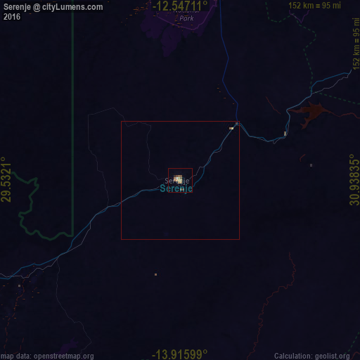
99.38%Clear (daylight) street map image can be seen on geolist.org.
Map coordinates:
12° 32' 49.6" South, 29° 31' 55.6" East
13° 13' 57" South, 30° 14' 6.8" East
13° 54' 57.6" South, 30° 56' 18.1" East
Some cities around Serenje sort by population:
• Ndola
175.8 km =109.2 mi,  279°
279°
• Luanshya
197.2 km =122.5 mi,  273°
273°
• Kapiri Mposhi
188.1 km =116.9 mi,  244°
244°
• Mpika
204 km =126.8 mi,  40°
40°
• Samfya
220.4 km =137 mi,  340°
340°
• Petauke
162.2 km =100.8 mi,  133°
133°
• Kataba
157.8 km =98.1 mi, 341°
• Mkushi
100.7 km =62.6 mi, 244°
898912 (p: 8,779)
Sources (retrieved 2019-11-25):
» Earth at Night: Flat Maps 2012, 2016