Vryheid night lights from space
Night Light of Vryheid (KwaZulu-Natal) from space (South Africa) Src. Average luminocity for 10x10km area is 26.3929% and for 50x50km: 1.8167%.
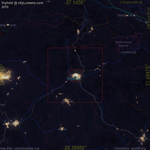
Analysis of Vryheid night lights 2016
Square area 10x10 km:
 2.18%
2.18%90-99
1.98%80-89
4.96%70-79
8.93%60-69
4.76%50-59
1.98%40-49
1.39%30-39
2.18%20-29
3.17%10-19
22.62%0-9
45.83%Square area 50x50 km:
0.08%90-99
0.08%80-89
0.26%70-79
0.56%60-69
0.29%50-59
0.2%40-49
0.24%30-39
0.39%20-29
0.21%10-19
1.04%0-9
96.66%Clear (daylight) street map image can be seen on geolist.org.
Map coordinates:
27° 8' 44.2" South, 30° 5' 18.7" East
27° 46' 10.3" South, 30° 47' 29.9" East
28° 23' 23.6" South, 31° 29' 41.2" East
Some cities around Vryheid sort by population:
• Newcastle
84.6 km =52.6 mi,  270°
270°
• Dundee
70.4 km =43.7 mi,  231°
231°
• Piet Retief
84.8 km =52.7 mi,  1°
1°
• Mondlo
24.8 km =15.4 mi,  197°
197°
• Driefontein
90.1 km =56 mi,  338°
338°
• Ulundi
87.8 km =54.6 mi,  135°
135°
• Glencoe
77.9 km =48.4 mi, 234°
• Nhlangano, SZ
83.4 km =51.8 mi,  28°
28°
942470 (p: 150,012)
Sources (retrieved 2019-11-25):
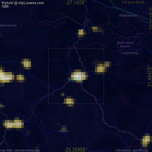
» NASA, Earths city lights 1995
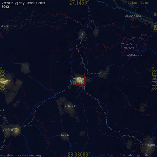
» NASA city lights 2003
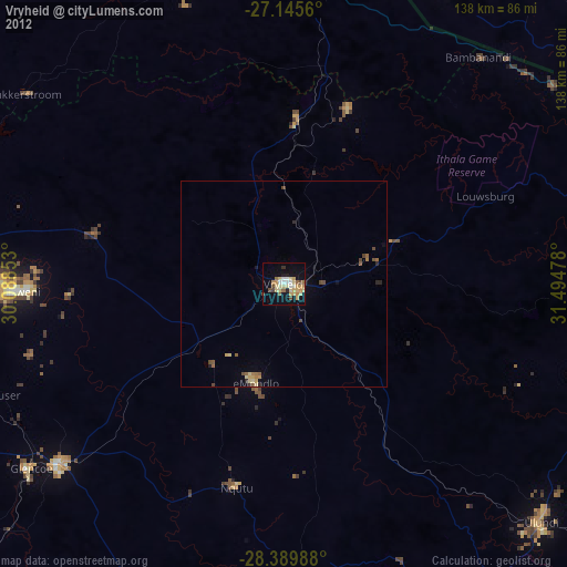
» Earth at Night: Flat Maps 2012, 2016