Mondlo night lights from space
Night Light of Mondlo (KwaZulu-Natal) from space (South Africa) Src. Average luminocity for 10x10km area is 11.6913% and for 50x50km: 1.7727%.
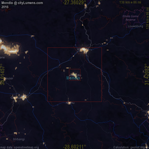
Analysis of Mondlo night lights 2016
Square area 10x10 km:
 0%
0%90-99
0%80-89
1.52%70-79
3.03%60-69
2.08%50-59
3.98%40-49
1.7%30-39
3.6%20-29
1.14%10-19
1.14%0-9
81.82%Square area 50x50 km:
0.08%90-99
0.08%80-89
0.29%70-79
0.54%60-69
0.27%50-59
0.24%40-49
0.22%30-39
0.36%20-29
0.27%10-19
0.73%0-9
96.92%Clear (daylight) street map image can be seen on geolist.org.
Map coordinates:
27° 21' 37" South, 30° 0' 52.5" East
27° 58' 58.8" South, 30° 43' 3.7" East
28° 36' 7.6" South, 31° 25' 15" East
Some cities around Mondlo sort by population:
• Newcastle
81.2 km =50.5 mi,  287°
287°
• Vryheid
24.8 km =15.4 mi,  17°
17°
• Dundee
51.7 km =32.1 mi,  246°
246°
• Volksrust
107.2 km =66.6 mi,  309°
309°
• Ulundi
78.9 km =49 mi,  119°
119°
• Ekuvukeni
77.1 km =47.9 mi,  225°
225°
• Glencoe
60 km =37.3 mi, 248°
• Nhlangano, SZ
107.8 km =67 mi,  26°
26°
974670 (p: 44,922)
Sources (retrieved 2019-11-25):
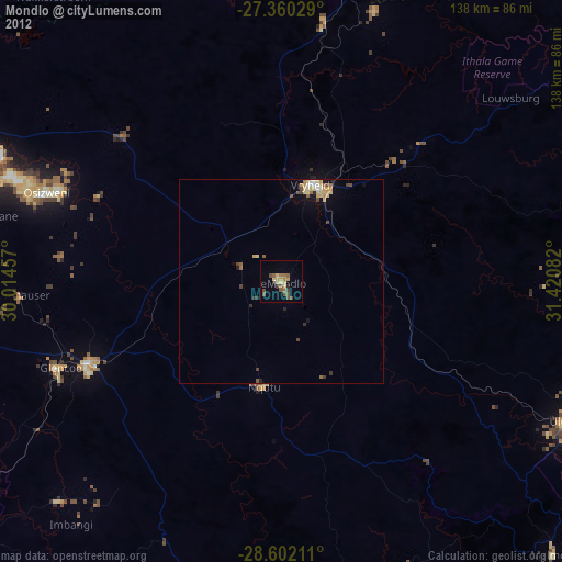
» Earth at Night: Flat Maps 2012, 2016