Nhlangano night lights from space
Night Light of Nhlangano (Shiselweni) from space (Eswatini) Src. Average luminocity for 10x10km area is 7.1042% and for 50x50km: 0.4847%.
Analysis of Nhlangano night lights 2016
Square area 10x10 km:
 0%
0%90-99
0.19%80-89
2.08%70-79
1.14%60-69
2.65%50-59
0%40-49
1.52%30-39
1.52%20-29
0.76%10-19
0%0-9
90.15%Square area 50x50 km:
0%90-99
0.01%80-89
0.1%70-79
0.06%60-69
0.11%50-59
0.11%40-49
0.14%30-39
0.11%20-29
0.17%10-19
0.02%0-9
99.18%Clear (daylight) street map image can be seen on geolist.org.
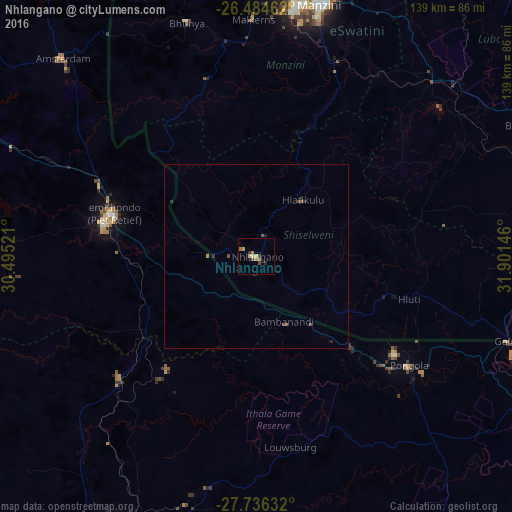
Map coordinates:
26° 29' 4.6" South, 30° 29' 42.8" East
27° 6' 44" South, 31° 11' 54" East
27° 44' 10.8" South, 31° 54' 5.3" East
Some cities around Nhlangano sort by population:
• Vryheid, ZA
83.4 km =51.8 mi,  208°
208°
• Manzini
70.5 km =43.8 mi,  14°
14°
• Piet Retief, ZA
39.9 km =24.8 mi,  287°
287°
• Driefontein, ZA
74.9 km =46.5 mi,  278°
278°
• Big Bend
79.9 km =49.6 mi,  65°
65°
• Malkerns
60.7 km =37.7 mi,  358°
358°
• Hluti
43 km =26.7 mi,  105°
105°
• Lobamba
71.8 km =44.6 mi,  0°
0°
934913 (p: 9,016)
Sources (retrieved 2019-11-25):
» Earth at Night: Flat Maps 2012, 2016