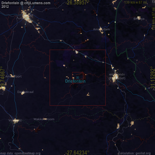
Driefontein night lights from space
Night Light of Driefontein (Mpumalanga) from space (South Africa) Src. Average luminocity for 10x10km area is 0.5% and for 50x50km: 0.1799%.
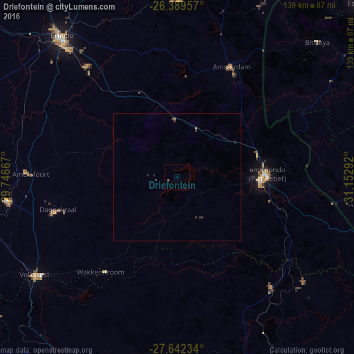
Analysis of Driefontein night lights 2016
Square area 10x10 km:
 0%
0%90-99
0%80-89
0%70-79
0%60-69
0.79%50-59
0%40-49
0%30-39
0%20-29
0%10-19
0%0-9
99.21%Square area 50x50 km:
0%90-99
0%80-89
0.03%70-79
0.03%60-69
0.03%50-59
0%40-49
0.06%30-39
0.16%20-29
0.08%10-19
0%0-9
99.61%Clear (daylight) street map image can be seen on geolist.org.
Map coordinates:
26° 23' 22.5" South, 29° 44' 48" East
27° 1' 3.7" South, 30° 26' 59.2" East
27° 38' 32.4" South, 31° 9' 10.5" East
Some cities around Driefontein sort by population:
• Vryheid
90.1 km =56 mi,  158°
158°
• Piet Retief
36 km =22.4 mi,  88°
88°
• Volksrust
68.2 km =42.4 mi,  235°
235°
• Ermelo
71 km =44.1 mi,  319°
319°
• Breyten
91.9 km =57.1 mi,  329°
329°
• Malkerns, SZ
88.4 km =54.9 mi,  55°
55°
• Nhlangano, SZ
74.9 km =46.5 mi,  98°
98°
• Lobamba, SZ
96.5 km =60 mi,  50°
50°
1008261 (p: 28,127)
Sources (retrieved 2019-11-25):
» Earth at Night: Flat Maps 2012, 2016