Dundee night lights from space
Night Light of Dundee (KwaZulu-Natal) from space (South Africa) Src. Average luminocity for 10x10km area is 21.3011% and for 50x50km: 1.582%.
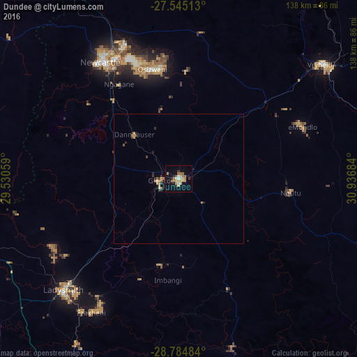
Analysis of Dundee night lights 2016
Square area 10x10 km:
 0.76%
0.76%90-99
2.27%80-89
3.6%70-79
5.49%60-69
5.3%50-59
1.33%40-49
0.95%30-39
1.89%20-29
1.89%10-19
18.94%0-9
57.58%Square area 50x50 km:
0.03%90-99
0.12%80-89
0.2%70-79
0.41%60-69
0.41%50-59
0.1%40-49
0.11%30-39
0.25%20-29
0.31%10-19
0.97%0-9
97.09%Clear (daylight) street map image can be seen on geolist.org.
Map coordinates:
27° 32' 42.5" South, 29° 31' 50.1" East
28° 10' 0.4" South, 30° 14' 1.4" East
28° 47' 5.4" South, 30° 56' 12.6" East
Some cities around Dundee sort by population:
• Newcastle
54.3 km =33.7 mi,  326°
326°
• Vryheid
70.4 km =43.7 mi,  51°
51°
• Mondlo
51.7 km =32.1 mi,  66°
66°
• Volksrust
95.6 km =59.4 mi,  338°
338°
• Harrismith
108.8 km =67.6 mi,  263°
263°
• Ekuvukeni
34.3 km =21.3 mi,  192°
192°
• Greytown
105.8 km =65.7 mi,  160°
160°
• Glencoe
8.6 km =5.3 mi, 261°
1007400 (p: 84,413)
Sources (retrieved 2019-11-25):
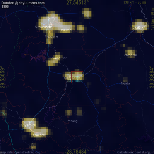
» NASA, Earths city lights 1995
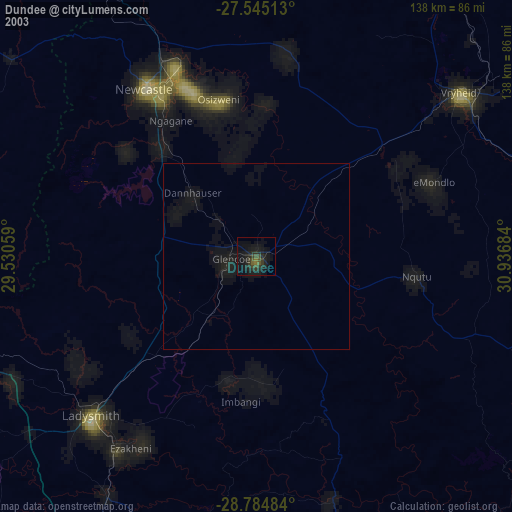
» NASA city lights 2003
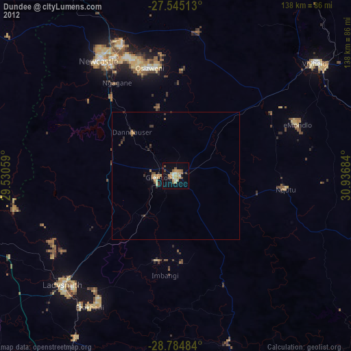
» Earth at Night: Flat Maps 2012, 2016