Piet Retief night lights from space
Night Light of Piet Retief (Mpumalanga) from space (South Africa) Src. Average luminocity for 10x10km area is 28.4802% and for 50x50km: 1.4735%.
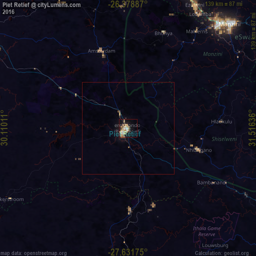
Analysis of Piet Retief night lights 2016
Square area 10x10 km:
 1.39%
1.39%90-99
4.96%80-89
5.56%70-79
6.94%60-69
6.75%50-59
1.59%40-49
2.58%30-39
0.79%20-29
4.17%10-19
22.82%0-9
42.46%Square area 50x50 km:
0.05%90-99
0.19%80-89
0.24%70-79
0.32%60-69
0.32%50-59
0.06%40-49
0.14%30-39
0.07%20-29
0.27%10-19
1.29%0-9
97.06%Clear (daylight) street map image can be seen on geolist.org.
Map coordinates:
26° 22' 43.9" South, 30° 6' 36.4" East
27° 0' 25.4" South, 30° 48' 47.6" East
27° 37' 54.3" South, 31° 30' 58.9" East
Some cities around Piet Retief sort by population:
• Vryheid
84.8 km =52.7 mi,  181°
181°
• Manzini, SZ
79.8 km =49.6 mi,  44°
44°
• Mbabane, SZ
83.1 km =51.6 mi,  22°
22°
• Driefontein
36 km =22.4 mi,  268°
268°
• Malkerns, SZ
61.2 km =38 mi, 36°
• Nhlangano, SZ
39.9 km =24.8 mi,  107°
107°
• Hluti, SZ
82.9 km =51.5 mi, 106°
• Lobamba, SZ
71.3 km =44.3 mi,  32°
32°
965241 (p: 84,349)
Sources (retrieved 2019-11-25):
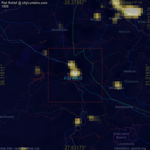
» NASA, Earths city lights 1995
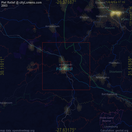
» NASA city lights 2003
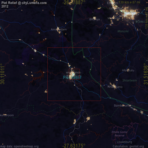
» Earth at Night: Flat Maps 2012, 2016