Newcastle night lights from space
Night Light of Newcastle (KwaZulu-Natal) from space (South Africa) Src. Average luminocity for 10x10km area is 57.881% and for 50x50km: 8.3964%.
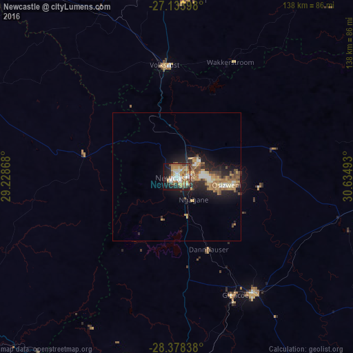
Analysis of Newcastle night lights 2016
Square area 10x10 km:
 8.73%
8.73%90-99
11.11%80-89
9.33%70-79
13.29%60-69
13.89%50-59
4.56%40-49
7.34%30-39
3.77%20-29
9.92%10-19
15.87%0-9
2.18%Square area 50x50 km:
0.71%90-99
1.11%80-89
1.14%70-79
1.62%60-69
1.83%50-59
0.99%40-49
1.35%30-39
0.96%20-29
2.58%10-19
5.5%0-9
82.22%Clear (daylight) street map image can be seen on geolist.org.
Map coordinates:
27° 8' 2.3" South, 29° 13' 43.2" East
27° 45' 28.7" South, 29° 55' 54.5" East
28° 22' 42.2" South, 30° 38' 5.7" East
Some cities around Newcastle sort by population:
• Vryheid
84.6 km =52.6 mi,  90°
90°
• Dundee
54.3 km =33.7 mi,  146°
146°
• Mondlo
81.2 km =50.5 mi,  107°
107°
• Volksrust
43.9 km =27.3 mi,  353°
353°
• Driefontein
96.9 km =60.2 mi,  31°
31°
• Vrede
84 km =52.2 mi,  296°
296°
• Ekuvukeni
81.9 km =50.9 mi,  164°
164°
• Glencoe
51.3 km =31.9 mi, 155°
971421 (p: 404,838)
Sources (retrieved 2019-11-25):
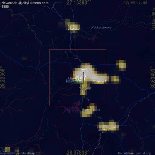
» NASA, Earths city lights 1995
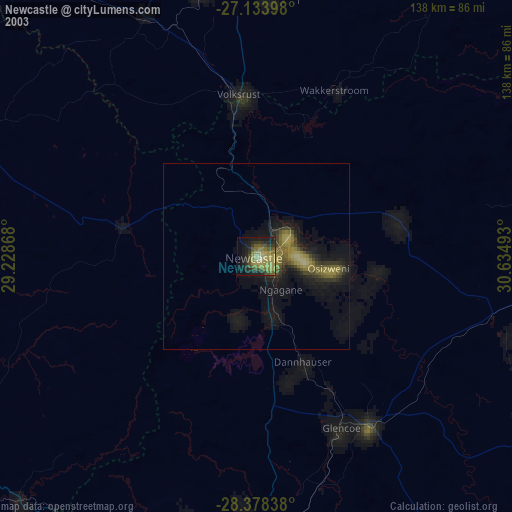
» NASA city lights 2003
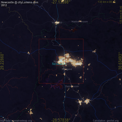
» Earth at Night: Flat Maps 2012, 2016