Ulundi night lights from space
Night Light of Ulundi (KwaZulu-Natal) from space (South Africa) Src. Average luminocity for 10x10km area is 9.8095% and for 50x50km: 0.7731%.
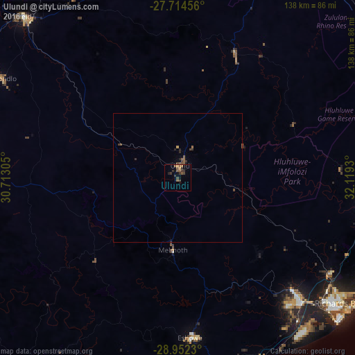

Analysis of Ulundi night lights 2016
Square area 10x10 km:
 0%
0%90-99
0%80-89
0%70-79
1.59%60-69
2.18%50-59
3.97%40-49
2.38%30-39
4.96%20-29
1.39%10-19
3.17%0-9
80.36%Square area 50x50 km:
0%90-99
0%80-89
0.02%70-79
0.08%60-69
0.15%50-59
0.31%40-49
0.25%30-39
0.33%20-29
0.18%10-19
0.18%0-9
98.51%Clear (daylight) street map image can be seen on geolist.org.
Map coordinates:
27° 42' 52.4" South, 30° 42' 47" East
28° 20' 6.8" South, 31° 24' 58.2" East
28° 57' 8.3" South, 32° 7' 9.5" East
Some cities around Ulundi sort by population:
• Richards Bay
78.5 km =48.8 mi,  129°
129°
• Vryheid
87.8 km =54.6 mi,  315°
315°
• KwaDukuza
111.1 km =69 mi,  186°
186°
• eSikhaleni
76 km =47.2 mi,  141°
141°
• Mondlo
78.9 km =49 mi,  299°
299°
• Empangeni
66.5 km =41.3 mi, 135°
• Eshowe
61.5 km =38.2 mi,  175°
175°
• Sundumbili
88.8 km =55.2 mi, 181°
946257 (p: 20,753)
Sources (retrieved 2019-11-25):
» Earth at Night: Flat Maps 2012, 2016