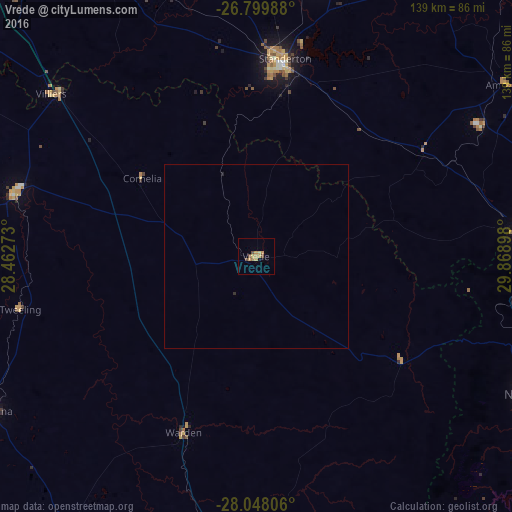
Vrede night lights from space
Night Light of Vrede (Orange Free State) from space (South Africa) Src. Average luminocity for 10x10km area is 7.8712% and for 50x50km: 0.3367%.
Analysis of Vrede night lights 2016
Square area 10x10 km:
 0%
0%90-99
0%80-89
1.33%70-79
4.55%60-69
0.95%50-59
0.38%40-49
2.65%30-39
0%20-29
0%10-19
0%0-9
90.15%Square area 50x50 km:
0%90-99
0%80-89
0.05%70-79
0.18%60-69
0.04%50-59
0.02%40-49
0.11%30-39
0%20-29
0.06%10-19
0%0-9
99.54%Clear (daylight) street map image can be seen on geolist.org.
Map coordinates:
26° 47' 59.6" South, 28° 27' 45.8" East
27° 25' 32.6" South, 29° 9' 57.1" East
28° 2' 53" South, 29° 52' 8.3" East
Some cities around Vrede sort by population:
• Newcastle
84 km =52.2 mi,  116°
116°
• eMbalenhle
99.7 km =62 mi,  354°
354°
• Standerton
55.2 km =34.3 mi,  7°
7°
• Volksrust
71 km =44.1 mi,  84°
84°
• Harrismith
94.2 km =58.5 mi,  182°
182°
• Secunda
97.4 km =60.5 mi,  0°
0°
• Reitz
83.9 km =52.1 mi,  240°
240°
• Villiers
71.1 km =44.2 mi,  308°
308°
942701 (p: 14,622)
Sources (retrieved 2019-11-25):
» Earth at Night: Flat Maps 2012, 2016