Secunda night lights from space
Night Light of Secunda (Mpumalanga) from space (South Africa) Src. Average luminocity for 10x10km area is 76.0095% and for 50x50km: 10.5426%.
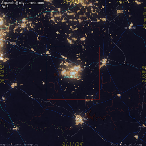
Analysis of Secunda night lights 2016
Square area 10x10 km:
 14.02%
90-99
17.05%80-89
8.9%70-79
20.45%60-69
21.21%50-59
10.61%40-49
5.68%30-39
1.7%20-29
0.38%10-19
0%0-9
0%Square area 50x50 km:
0.83%90-99
1.08%80-89
1.2%70-79
2.17%60-69
2.21%50-59
1.42%40-49
2.11%30-39
1.67%20-29
2.83%10-19
6%0-9
78.48%Clear (daylight) street map image can be seen on geolist.org.
Map coordinates:
25° 55' 9.5" South, 28° 27' 48.8" East
26° 33' 0" South, 29° 10' 0" East
27° 10' 38.1" South, 29° 52' 11.3" East
Some cities around Secunda sort by population:
• eMbalenhle
10.1 km =6.3 mi,  280°
280°
• Nigel
69.9 km =43.4 mi, 280°
• Bethal
31.5 km =19.6 mi,  71°
71°
• Delmas
65.8 km =40.9 mi,  312°
312°
• Standerton
43.3 km =26.9 mi,  170°
170°
• Balfour
58.7 km =36.5 mi,  257°
257°
• Hendrina
69.9 km =43.4 mi,  51°
51°
• Kriel
31.2 km =19.4 mi,  10°
10°
956767 (p: 20,418)
Sources (retrieved 2019-11-25):
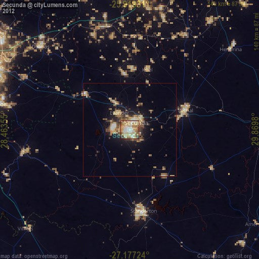
» Earth at Night: Flat Maps 2012, 2016