Harrismith night lights from space
Night Light of Harrismith (Orange Free State) from space (South Africa) Src. Average luminocity for 10x10km area is 21.3115% and for 50x50km: 1.4039%.
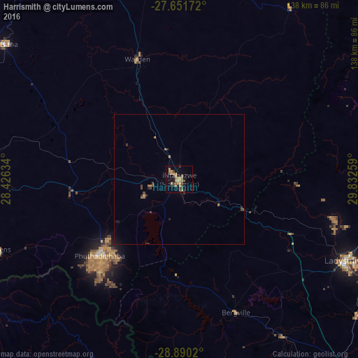
Analysis of Harrismith night lights 2016
Square area 10x10 km:
 0%
0%90-99
0%80-89
0.99%70-79
9.72%60-69
5.95%50-59
1.59%40-49
4.56%30-39
4.17%20-29
1.98%10-19
8.93%0-9
62.1%Square area 50x50 km:
0%90-99
0%80-89
0.05%70-79
0.5%60-69
0.38%50-59
0.09%40-49
0.34%30-39
0.4%20-29
0.2%10-19
0.47%0-9
97.58%Clear (daylight) street map image can be seen on geolist.org.
Map coordinates:
27° 39' 6.2" South, 28° 25' 34.8" East
28° 16' 21.9" South, 29° 7' 46.1" East
28° 53' 24.7" South, 29° 49' 57.3" East
Some cities around Harrismith sort by population:
• Newcastle
97.4 km =60.5 mi,  53°
53°
• Phuthaditjhaba
41.5 km =25.8 mi,  227°
227°
• Bethlehem
80.7 km =50.1 mi,  273°
273°
• Reitz
86.6 km =53.8 mi,  307°
307°
• Butha-Buthe, LS
102 km =63.4 mi,  237°
237°
• Vrede
94.2 km =58.5 mi,  2°
2°
• Ekuvukeni
102.7 km =63.8 mi,  102°
102°
• Glencoe
100.2 km =62.3 mi,  83°
83°
997751 (p: 35,108)
Sources (retrieved 2019-11-25):
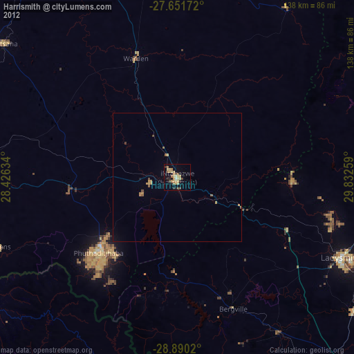
» Earth at Night: Flat Maps 2012, 2016