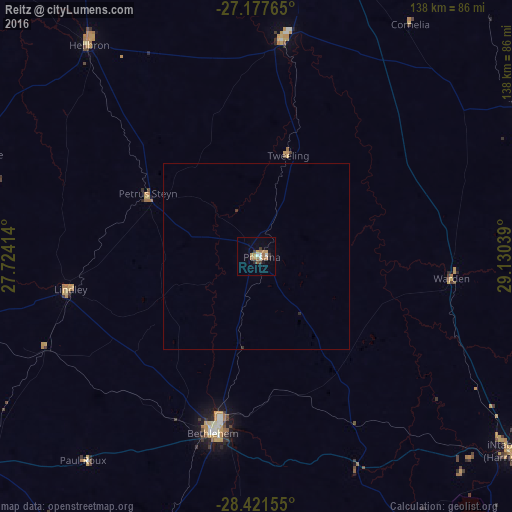
Reitz night lights from space
Night Light of Reitz (Orange Free State) from space (South Africa) Src. Average luminocity for 10x10km area is 14.8274% and for 50x50km: 0.627%.
Analysis of Reitz night lights 2016
Square area 10x10 km:
 1.39%
1.39%90-99
1.79%80-89
0.2%70-79
4.37%60-69
4.37%50-59
1.19%40-49
0.6%30-39
2.98%20-29
1.19%10-19
2.18%0-9
79.76%Square area 50x50 km:
0.05%90-99
0.07%80-89
0.01%70-79
0.17%60-69
0.17%50-59
0.05%40-49
0.02%30-39
0.17%20-29
0.08%10-19
0.08%0-9
99.14%Clear (daylight) street map image can be seen on geolist.org.
Map coordinates:
27° 10' 39.5" South, 27° 43' 26.9" East
27° 48' 5" South, 28° 25' 38.1" East
28° 25' 17.6" South, 29° 7' 49.4" East
Some cities around Reitz sort by population:
• Phuthaditjhaba
88.9 km =55.2 mi,  154°
154°
• Bethlehem
49.2 km =30.6 mi,  193°
193°
• Heilbron
73.3 km =45.5 mi,  322°
322°
• Senekal
97.9 km =60.8 mi,  233°
233°
• Harrismith
86.6 km =53.8 mi,  127°
127°
• Vrede
83.9 km =52.1 mi,  60°
60°
• Lindley
51.2 km =31.8 mi,  260°
260°
• Villiers
87.4 km =54.3 mi,  11°
11°
962847 (p: 16,637)
Sources (retrieved 2019-11-25):
» Earth at Night: Flat Maps 2012, 2016