Standerton night lights from space
Night Light of Standerton (Mpumalanga) from space (South Africa) Src. Average luminocity for 10x10km area is 40.5536% and for 50x50km: 3.1185%.
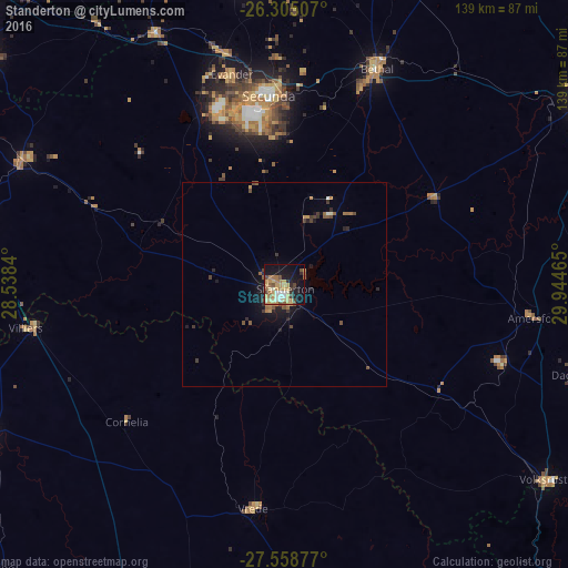
Analysis of Standerton night lights 2016
Square area 10x10 km:
 2.38%
2.38%90-99
5.56%80-89
7.14%70-79
13.29%60-69
7.74%50-59
3.77%40-49
5.75%30-39
2.18%20-29
5.36%10-19
29.56%0-9
17.26%Square area 50x50 km:
0.12%90-99
0.26%80-89
0.33%70-79
0.73%60-69
0.55%50-59
0.45%40-49
0.61%30-39
0.39%20-29
0.64%10-19
2.6%0-9
93.31%Clear (daylight) street map image can be seen on geolist.org.
Map coordinates:
26° 18' 18.3" South, 28° 32' 18.2" East
26° 56' 1.2" South, 29° 14' 29.5" East
27° 33' 31.6" South, 29° 56' 40.7" East
Some cities around Standerton sort by population:
• eMbalenhle
47.8 km =29.7 mi,  338°
338°
• Bethal
57.4 km =35.7 mi,  22°
22°
• Balfour
71.3 km =44.3 mi,  294°
294°
• Volksrust
79.5 km =49.4 mi,  127°
127°
• Secunda
43.3 km =26.9 mi,  350°
350°
• Kriel
73.4 km =45.6 mi,  358°
358°
• Vrede
55.2 km =34.3 mi,  187°
187°
• Villiers
64.4 km =40 mi,  260°
260°
952747 (p: 74,021)
Sources (retrieved 2019-11-25):
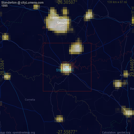
» NASA, Earths city lights 1995
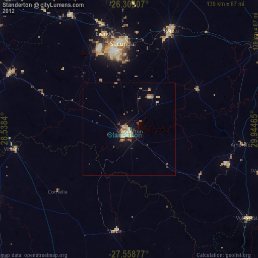
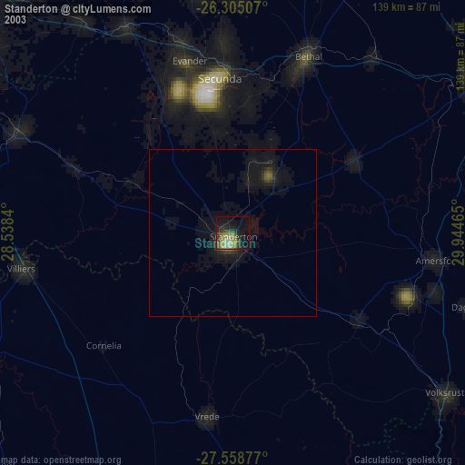
» NASA city lights 2003
» Earth at Night: Flat Maps 2012, 2016