eMbalenhle night lights from space
Night Light of eMbalenhle (Mpumalanga) from space (South Africa) Src. Average luminocity for 10x10km area is 41.2614% and for 50x50km: 10.5957%.
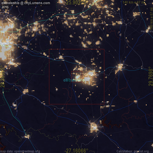
Analysis of eMbalenhle night lights 2016
Square area 10x10 km:
 2.65%
2.65%90-99
5.49%80-89
5.68%70-79
7.01%60-69
8.71%50-59
7.2%40-49
10.23%30-39
8.33%20-29
12.69%10-19
17.99%0-9
14.02%Square area 50x50 km:
0.82%90-99
1.06%80-89
1.23%70-79
2.16%60-69
2.27%50-59
1.39%40-49
2.16%30-39
1.67%20-29
2.92%10-19
6.06%0-9
78.27%Clear (daylight) street map image can be seen on geolist.org.
Map coordinates:
25° 54' 9.2" South, 28° 21' 48.8" East
26° 31' 60" South, 29° 4' 0" East
27° 9' 38.4" South, 29° 46' 11.3" East
Some cities around eMbalenhle sort by population:
• Nigel
59.8 km =37.2 mi,  280°
280°
• Bethal
40.6 km =25.2 mi,  78°
78°
• Delmas
57.5 km =35.7 mi,  318°
318°
• Standerton
47.8 km =29.7 mi,  158°
158°
• Heidelberg
70.5 km =43.8 mi,  272°
272°
• Balfour
49.5 km =30.8 mi,  253°
253°
• Secunda
10.1 km =6.3 mi,  100°
100°
• Kriel
32.9 km =20.4 mi,  28°
28°
1005646 (p: 141,741)
Sources (retrieved 2019-11-25):
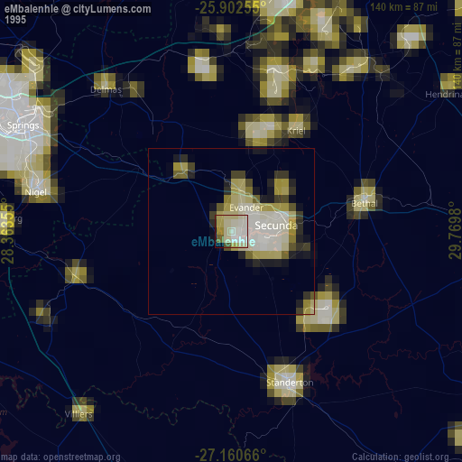
» NASA, Earths city lights 1995
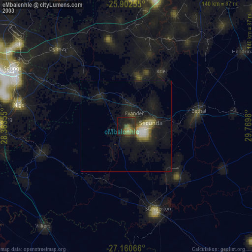
» NASA city lights 2003
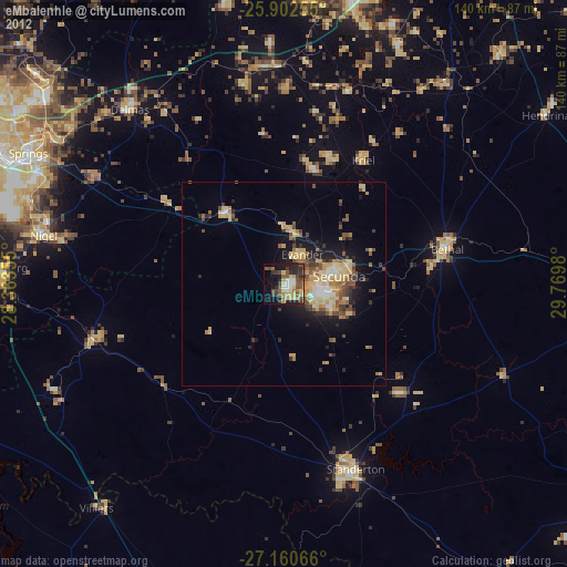
» Earth at Night: Flat Maps 2012, 2016