Volksrust night lights from space
Night Light of Volksrust (Mpumalanga) from space (South Africa) Src. Average luminocity for 10x10km area is 13.8977% and for 50x50km: 0.7879%.
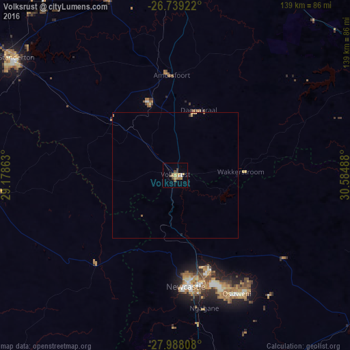
Analysis of Volksrust night lights 2016
Square area 10x10 km:
 1.52%
1.52%90-99
0.76%80-89
1.7%70-79
3.79%60-69
2.84%50-59
2.27%40-49
2.27%30-39
0.76%20-29
0%10-19
0.19%0-9
83.9%Square area 50x50 km:
0.06%90-99
0.03%80-89
0.09%70-79
0.22%60-69
0.2%50-59
0.12%40-49
0.09%30-39
0.05%20-29
0.02%10-19
0.04%0-9
99.07%Clear (daylight) street map image can be seen on geolist.org.
Map coordinates:
26° 44' 21.2" South, 29° 10' 43.1" East
27° 21' 55.5" South, 29° 52' 54.3" East
27° 59' 17.1" South, 30° 35' 5.6" East
Some cities around Volksrust sort by population:
• Newcastle
43.9 km =27.3 mi,  173°
173°
• Vryheid
100.3 km =62.3 mi,  116°
116°
• Dundee
95.6 km =59.4 mi,  158°
158°
• Standerton
79.5 km =49.4 mi,  307°
307°
• Ermelo
93.1 km =57.8 mi,  6°
6°
• Driefontein
68.2 km =42.4 mi,  55°
55°
• Vrede
71 km =44.1 mi,  264°
264°
• Glencoe
94.1 km =58.5 mi, 163°
943032 (p: 43,378)
Sources (retrieved 2019-11-25):
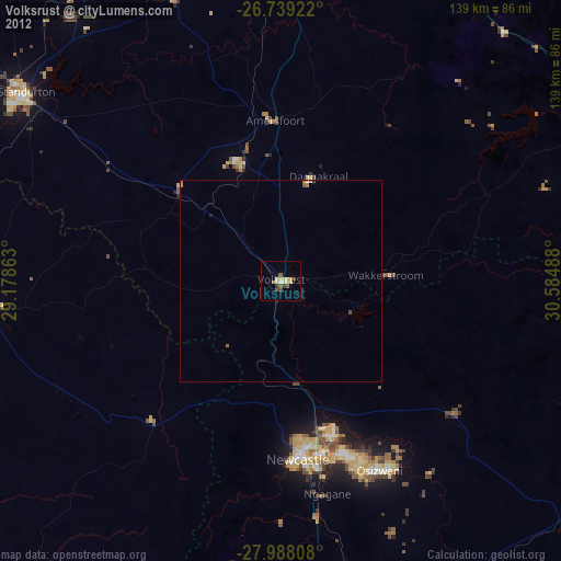
» Earth at Night: Flat Maps 2012, 2016