Balfour night lights from space
Night Light of Balfour (Mpumalanga) from space (South Africa) Src. Average luminocity for 10x10km area is 13.9489% and for 50x50km: 3.5208%.
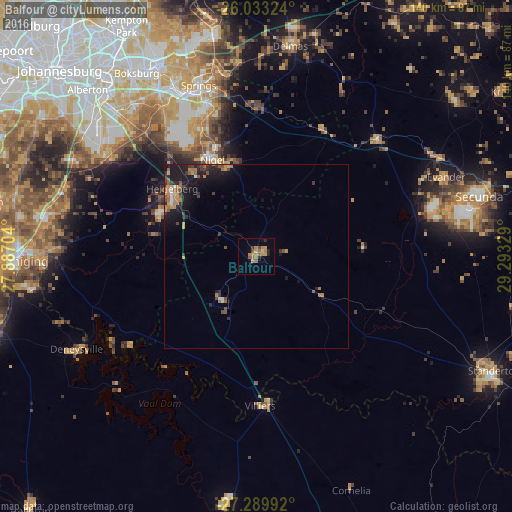
Analysis of Balfour night lights 2016
Square area 10x10 km:
 0%
0%90-99
0%80-89
1.14%70-79
5.49%60-69
5.11%50-59
1.89%40-49
1.52%30-39
1.14%20-29
2.65%10-19
0.76%0-9
80.3%Square area 50x50 km:
0.14%90-99
0.17%80-89
0.19%70-79
0.76%60-69
0.9%50-59
0.63%40-49
0.42%30-39
0.64%20-29
0.98%10-19
3.57%0-9
91.6%Clear (daylight) street map image can be seen on geolist.org.
Map coordinates:
26° 1' 59.7" South, 27° 53' 13.3" East
26° 39' 47.9" South, 28° 35' 24.6" East
27° 17' 23.7" South, 29° 17' 35.8" East
Some cities around Balfour sort by population:
• Brakpan
52.3 km =32.5 mi,  335°
335°
• Springs
49.7 km =30.9 mi, 337°
• eMbalenhle
49.5 km =30.8 mi,  73°
73°
• Nigel
28.1 km =17.5 mi, 336°
• Delmas
58.2 km =36.2 mi,  9°
9°
• Heidelberg
29 km =18 mi,  307°
307°
• Deneysville
55.1 km =34.2 mi,  242°
242°
• Villiers
40.8 km =25.4 mi,  178°
178°
1021396 (p: 46,008)
Sources (retrieved 2019-11-25):
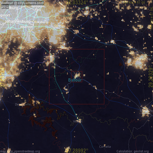
» Earth at Night: Flat Maps 2012, 2016