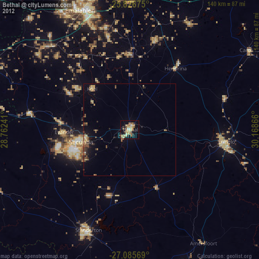
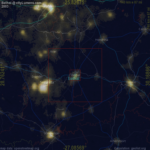
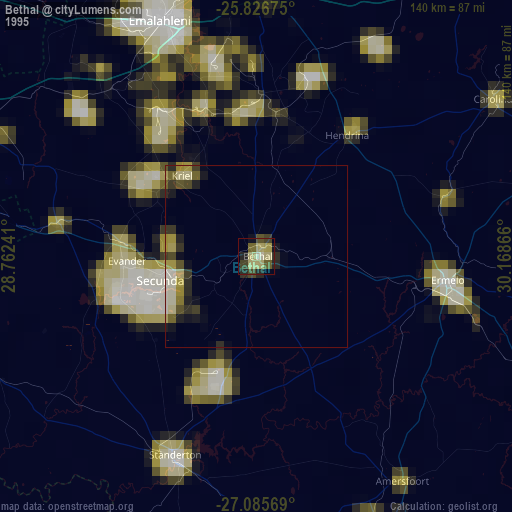
Bethal night lights from space
Night Light of Bethal (Mpumalanga) from space (South Africa) Src. Average luminocity for 10x10km area is 28.1496% and for 50x50km: 3.905%.

Analysis of Bethal night lights 2016
Square area 10x10 km:
 0.57%
0.57%90-99
1.14%80-89
2.46%70-79
8.14%60-69
10.04%50-59
4.17%40-49
4.36%30-39
4.92%20-29
1.89%10-19
25.57%0-9
36.74%Square area 50x50 km:
0.05%90-99
0.06%80-89
0.37%70-79
0.73%60-69
1.01%50-59
0.55%40-49
0.96%30-39
0.86%20-29
1.08%10-19
2.82%0-9
91.51%Clear (daylight) street map image can be seen on geolist.org.
Map coordinates:
25° 49' 36.3" South, 28° 45' 44.7" East
26° 27' 28.6" South, 29° 27' 55.9" East
27° 5' 8.5" South, 30° 10' 7.2" East
Some cities around Bethal sort by population:
• Witbank
69.2 km =43 mi,  340°
340°
• eMbalenhle
40.6 km =25.2 mi,  258°
258°
• Standerton
57.4 km =35.7 mi,  202°
202°
• Ermelo
52.2 km =32.4 mi,  99°
99°
• Secunda
31.5 km =19.6 mi,  251°
251°
• Hendrina
41.5 km =25.8 mi,  36°
36°
• Kriel
31.5 km =19.6 mi,  310°
310°
• Breyten
54.8 km =34.1 mi,  71°
71°
1019760 (p: 101,919)
Sources (retrieved 2019-11-25):
» NASA, Earths city lights 1995
» NASA city lights 2003
» Earth at Night: Flat Maps 2012, 2016