Port Alfred night lights from space
Night Light of Port Alfred (Eastern Cape) from space (South Africa) Src. Average luminocity for 10x10km area is 13.3004% and for 50x50km: 0.8687%.
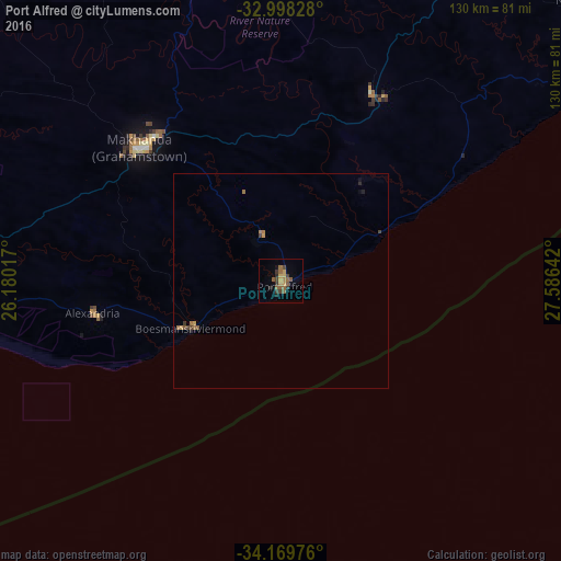
Analysis of Port Alfred night lights 2016
Square area 10x10 km:
 0%
0%90-99
0%80-89
1.47%70-79
2.93%60-69
2.56%50-59
5.49%40-49
1.65%30-39
4.21%20-29
1.47%10-19
1.47%0-9
78.75%Square area 50x50 km:
0%90-99
0%80-89
0.06%70-79
0.2%60-69
0.24%50-59
0.27%40-49
0.2%30-39
0.2%20-29
0.13%10-19
0.09%0-9
98.6%Clear (daylight) street map image can be seen on geolist.org.
Map coordinates:
32° 59' 53.8" South, 26° 10' 48.6" East
33° 35' 9.6" South, 26° 52' 59.8" East
34° 10' 11.1" South, 27° 35' 11.1" East
Some cities around Port Alfred sort by population:
• East London
114.7 km =71.3 mi,  56°
56°
• Bhisho
97.2 km =60.4 mi,  32°
32°
• Grahamstown
45.2 km =28.1 mi,  313°
313°
• Fort Beaufort
93.1 km =57.8 mi,  345°
345°
• Stutterheim
123.6 km =76.8 mi,  24°
24°
• Adelaide
112 km =69.6 mi,  330°
330°
• Kirkwood
135.2 km =84 mi,  278°
278°
• Alice
88.9 km =55.2 mi,  357°
357°
964432 (p: 17,959)
Sources (retrieved 2019-11-25):
» Earth at Night: Flat Maps 2012, 2016