Fort Beaufort night lights from space
Night Light of Fort Beaufort (Eastern Cape) from space (South Africa) Src. Average luminocity for 10x10km area is 16.1469% and for 50x50km: 1.0884%.
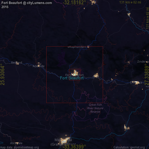


Analysis of Fort Beaufort night lights 2016
Square area 10x10 km:
 0.87%
0.87%90-99
1.92%80-89
2.1%70-79
4.37%60-69
4.37%50-59
1.05%40-49
1.75%30-39
1.05%20-29
0.52%10-19
4.72%0-9
77.27%Square area 50x50 km:
0.06%90-99
0.09%80-89
0.12%70-79
0.28%60-69
0.27%50-59
0.07%40-49
0.18%30-39
0.13%20-29
0.09%10-19
0.27%0-9
98.43%Clear (daylight) street map image can be seen on geolist.org.
Map coordinates:
32° 10' 53.8" South, 25° 55' 50.3" East
32° 46' 29.2" South, 26° 38' 1.5" East
33° 21' 50.4" South, 27° 20' 12.8" East
Some cities around Fort Beaufort sort by population:
• Bhisho
76 km =47.2 mi,  96°
96°
• Grahamstown
59.6 km =37 mi,  189°
189°
• Stutterheim
77.4 km =48.1 mi,  72°
72°
• Port Alfred
93.1 km =57.8 mi,  165°
165°
• Adelaide
32.5 km =20.2 mi,  283°
283°
• Whittlesea
68.9 km =42.8 mi,  15°
15°
• Ilinge
96.7 km =60.1 mi, 23°
• Alice
18.8 km =11.7 mi,  94°
94°
1003953 (p: 58,419)
Sources (retrieved 2019-11-25):
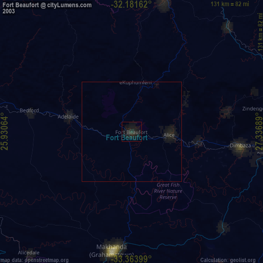
» NASA, Earths city lights 1995
» NASA city lights 2003
» Earth at Night: Flat Maps 2012, 2016