Adelaide night lights from space
Night Light of Adelaide (Eastern Cape) from space (South Africa) Src. Average luminocity for 10x10km area is 2.7622% and for 50x50km: 0.1971%.
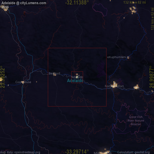
Analysis of Adelaide night lights 2016
Square area 10x10 km:
 0%
0%90-99
0%80-89
0%70-79
0.7%60-69
0%50-59
2.1%40-49
1.4%30-39
0%20-29
0.35%10-19
1.05%0-9
94.41%Square area 50x50 km:
0%90-99
0%80-89
0%70-79
0.03%60-69
0.01%50-59
0.1%40-49
0.09%30-39
0.14%20-29
0.01%10-19
0.04%0-9
99.57%Clear (daylight) street map image can be seen on geolist.org.
Map coordinates:
32° 6' 50" South, 25° 35' 33.1" East
32° 42' 26.9" South, 26° 17' 44.3" East
33° 17' 49.7" South, 26° 59' 55.6" East
Some cities around Adelaide sort by population:
• Queenstown
105.3 km =65.4 mi,  31°
31°
• Grahamstown
69.9 km =43.4 mi,  161°
161°
• Fort Beaufort
32.5 km =20.2 mi,  103°
103°
• Stutterheim
106.7 km =66.3 mi,  81°
81°
• Cradock
87.6 km =54.4 mi,  313°
313°
• Somerset East
66.2 km =41.1 mi,  268°
268°
• Whittlesea
77.2 km =48 mi,  40°
40°
• Alice
51.2 km =31.8 mi, 100°
1023656 (p: 12,212)
Sources (retrieved 2019-11-25):
» Earth at Night: Flat Maps 2012, 2016