Oudtshoorn night lights from space
Night Light of Oudtshoorn (Western Cape) from space (South Africa) Src. Average luminocity for 10x10km area is 28.1447% and for 50x50km: 1.417%.
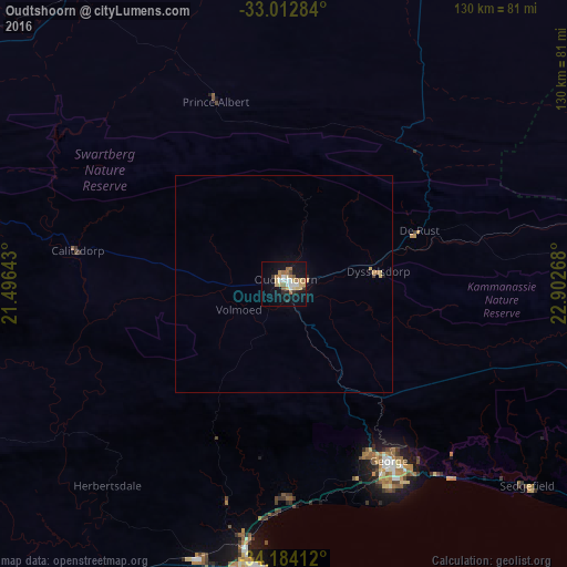
Analysis of Oudtshoorn night lights 2016
Square area 10x10 km:
 4.03%
4.03%90-99
3.3%80-89
5.86%70-79
3.85%60-69
5.86%50-59
3.11%40-49
1.1%30-39
2.56%20-29
2.38%10-19
29.3%0-9
38.64%Square area 50x50 km:
0.16%90-99
0.13%80-89
0.31%70-79
0.2%60-69
0.27%50-59
0.12%40-49
0.04%30-39
0.13%20-29
0.12%10-19
1.28%0-9
97.23%Clear (daylight) street map image can be seen on geolist.org.
Map coordinates:
33° 0' 46.2" South, 21° 29' 47.1" East
33° 36' 1.7" South, 22° 11' 58.4" East
34° 11' 2.8" South, 22° 54' 9.6" East
Some cities around Oudtshoorn sort by population:
• Knysna
92.1 km =57.2 mi,  121°
121°
• Mossel Bay
65 km =40.4 mi,  184°
184°
• Plettenberg Bay
119.4 km =74.2 mi,  114°
114°
• Riversdale
102.8 km =63.9 mi,  237°
237°
• Prince Albert
44.7 km =27.8 mi,  338°
338°
• George
47 km =29.2 mi,  148°
148°
• Ladismith
87.2 km =54.2 mi,  277°
277°
• Albertina
88.3 km =54.9 mi,  220°
220°
967106 (p: 61,507)
Sources (retrieved 2019-11-25):
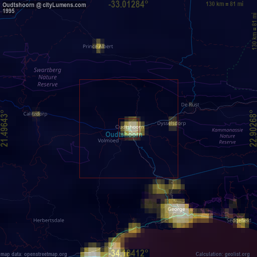
» NASA, Earths city lights 1995
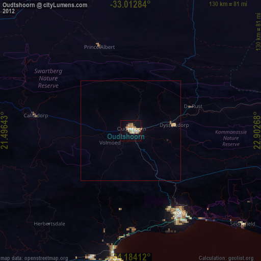
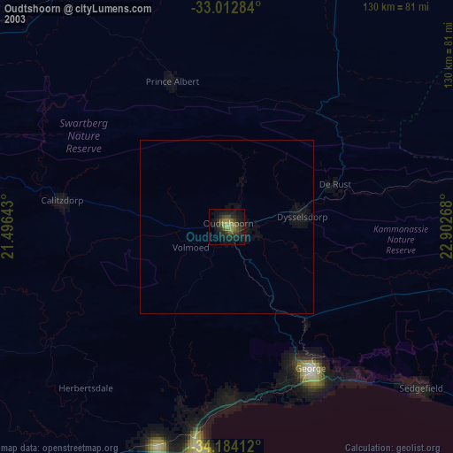
» NASA city lights 2003
» Earth at Night: Flat Maps 2012, 2016