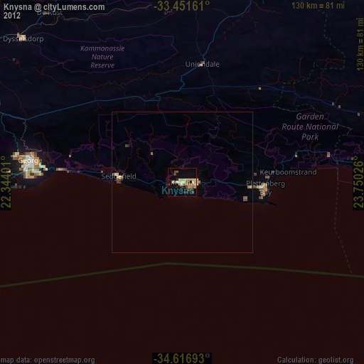
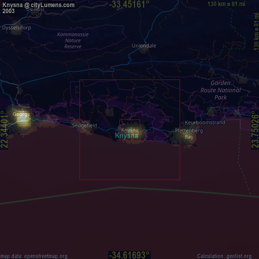
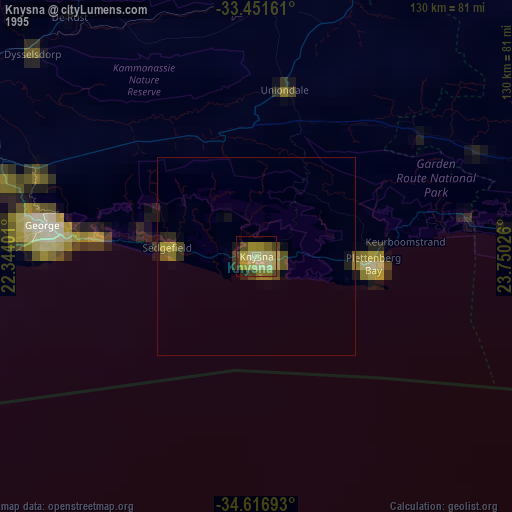
Knysna night lights from space
Night Light of Knysna (Western Cape) from space (South Africa) Src. Average luminocity for 10x10km area is 21.3252% and for 50x50km: 1.3893%.
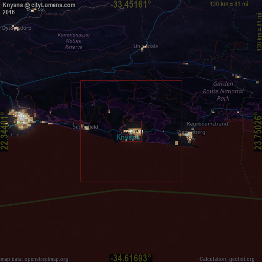
Analysis of Knysna night lights 2016
Square area 10x10 km:
 0%
0%90-99
1.4%80-89
2.1%70-79
6.99%60-69
5.42%50-59
4.9%40-49
1.4%30-39
4.9%20-29
1.05%10-19
12.94%0-9
58.92%Square area 50x50 km:
0.02%90-99
0.06%80-89
0.14%70-79
0.4%60-69
0.34%50-59
0.25%40-49
0.09%30-39
0.38%20-29
0.1%10-19
0.58%0-9
97.63%Clear (daylight) street map image can be seen on geolist.org.
Map coordinates:
33° 27' 5.8" South, 22° 20' 38.4" East
34° 2' 10.6" South, 23° 2' 49.7" East
34° 37' 0.9" South, 23° 45' 0.9" East
Some cities around Knysna sort by population:
• Oudtshoorn
92.1 km =57.2 mi,  301°
301°
• Mossel Bay
84.5 km =52.5 mi,  258°
258°
• Plettenberg Bay
30 km =18.6 mi,  93°
93°
• Kruisfontein
155.3 km =96.5 mi, 88°
• Prince Albert
130.6 km =81.2 mi,  313°
313°
• George
54.6 km =33.9 mi,  278°
278°
• Willowmore
92.3 km =57.4 mi,  26°
26°
• Albertina
136.3 km =84.7 mi, 262°
988698 (p: 68,659)
Sources (retrieved 2019-11-25):
» NASA, Earths city lights 1995
» NASA city lights 2003
» Earth at Night: Flat Maps 2012, 2016