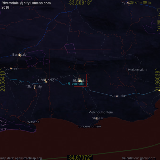
Riversdale night lights from space
Night Light of Riversdale (Western Cape) from space (South Africa) Src. Average luminocity for 10x10km area is 5.0952% and for 50x50km: 0.2033%.
Analysis of Riversdale night lights 2016
Square area 10x10 km:
 0%
0%90-99
0%80-89
1.83%70-79
0.37%60-69
2.01%50-59
0.92%40-49
0%30-39
1.28%20-29
1.28%10-19
0.37%0-9
91.94%Square area 50x50 km:
0%90-99
0%80-89
0.07%70-79
0.01%60-69
0.08%50-59
0.04%40-49
0%30-39
0.05%20-29
0.05%10-19
0.01%0-9
99.68%Clear (daylight) street map image can be seen on geolist.org.
Map coordinates:
33° 30' 33" South, 20° 33' 14.9" East
34° 5' 36.4" South, 21° 15' 26.1" East
34° 40' 25.4" South, 21° 57' 37.4" East
Some cities around Riversdale sort by population:
• Oudtshoorn
102.8 km =63.9 mi,  57°
57°
• Mossel Bay
82.4 km =51.2 mi,  96°
96°
• Montagu
110.2 km =68.5 mi,  288°
288°
• Swellendam
75.5 km =46.9 mi,  275°
275°
• George
111.9 km =69.5 mi,  82°
82°
• Hardys Memories of Africa
54 km =33.6 mi, 292°
• Ladismith
66.7 km =41.4 mi,  0°
0°
• Albertina
32.2 km =20 mi,  112°
112°
961152 (p: 16,176)
Sources (retrieved 2019-11-25):
» Earth at Night: Flat Maps 2012, 2016