Albertina night lights from space
Night Light of Albertina (Western Cape) from space (South Africa) Src. Average luminocity for 10x10km area is 0.7143% and for 50x50km: 0.0777%.
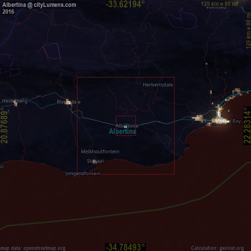
Analysis of Albertina night lights 2016
Square area 10x10 km:
 0%
0%90-99
0%80-89
0%70-79
0%60-69
0%50-59
0.73%40-49
0.73%30-39
0%20-29
0%10-19
0%0-9
98.53%Square area 50x50 km:
0%90-99
0%80-89
0%70-79
0%60-69
0%50-59
0.03%40-49
0.04%30-39
0.07%20-29
0.03%10-19
0.03%0-9
99.8%Clear (daylight) street map image can be seen on geolist.org.
Map coordinates:
33° 37' 19" South, 20° 52' 36.8" East
34° 12' 19.6" South, 21° 34' 48" East
34° 47' 5.7" South, 22° 16' 59.3" East
Some cities around Albertina sort by population:
• Oudtshoorn
88.3 km =54.9 mi,  40°
40°
• Mossel Bay
52.1 km =32.4 mi,  87°
87°
• Riversdale
32.2 km =20 mi,  292°
292°
• Swellendam
106.7 km =66.3 mi,  280°
280°
• Prince Albert
116.6 km =72.5 mi,  20°
20°
• George
85.6 km =53.2 mi,  71°
71°
• Hardys Memories of Africa
86.2 km =53.6 mi, 292°
• Ladismith
84.3 km =52.4 mi,  339°
339°
1023445 (p: 6,372)
Sources (retrieved 2019-11-25):
» Earth at Night: Flat Maps 2012, 2016