Ladismith night lights from space
Night Light of Ladismith (Western Cape) from space (South Africa) Src. Average luminocity for 10x10km area is 5.2582% and for 50x50km: 0.3112%.
Analysis of Ladismith night lights 2016
Square area 10x10 km:
 0%
0%90-99
0%80-89
2.2%70-79
1.47%60-69
0.18%50-59
1.83%40-49
0.18%30-39
0.73%20-29
0%10-19
0%0-9
93.41%Square area 50x50 km:
0%90-99
0%80-89
0.12%70-79
0.08%60-69
0.06%50-59
0.07%40-49
0.01%30-39
0.03%20-29
0%10-19
0.09%0-9
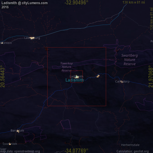
99.54%Clear (daylight) street map image can be seen on geolist.org.
Map coordinates:
32° 54' 17.9" South, 20° 33' 51.9" East
33° 29' 35.9" South, 21° 16' 3.2" East
34° 4' 39.7" South, 21° 58' 14.4" East
Some cities around Ladismith sort by population:
• Oudtshoorn
87.2 km =54.2 mi,  97°
97°
• Mossel Bay
111.6 km =69.3 mi,  133°
133°
• Riversdale
66.7 km =41.4 mi,  180°
180°
• Montagu
111 km =69 mi,  252°
252°
• Swellendam
96.4 km =59.9 mi,  232°
232°
• Prince Albert
76.6 km =47.6 mi,  67°
67°
• Hardys Memories of Africa
68.5 km =42.6 mi, 228°
• Albertina
84.3 km =52.4 mi,  159°
159°
985020 (p: 7,127)
Sources (retrieved 2019-11-25):
» Earth at Night: Flat Maps 2012, 2016