Mthatha night lights from space
Night Light of Mthatha (Eastern Cape) from space (South Africa) Src. Average luminocity for 10x10km area is 48.4103% and for 50x50km: 2.792%.
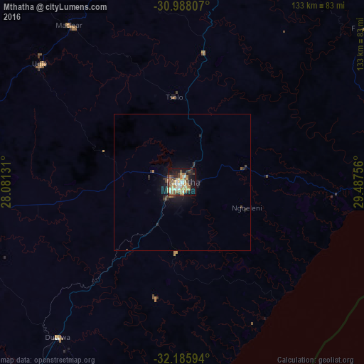
Analysis of Mthatha night lights 2016
Square area 10x10 km:
 5.31%
5.31%90-99
8.42%80-89
7.88%70-79
10.26%60-69
9.34%50-59
7.51%40-49
5.31%30-39
5.86%20-29
8.42%10-19
26.37%0-9
5.31%Square area 50x50 km:
0.22%90-99
0.34%80-89
0.34%70-79
0.45%60-69
0.43%50-59
0.39%40-49
0.41%30-39
0.5%20-29
0.65%10-19
2.55%0-9
93.73%Clear (daylight) street map image can be seen on geolist.org.
Map coordinates:
30° 59' 17.1" South, 28° 4' 52.7" East
31° 35' 20.1" South, 28° 47' 3.9" East
32° 11' 9.4" South, 29° 29' 15.2" East
Some cities around Mthatha sort by population:
• Butterworth
101.9 km =63.3 mi,  215°
215°
• Qacha’s Nek, LS
164.1 km =102 mi,  356°
356°
• Kokstad
130.9 km =81.3 mi,  27°
27°
• Lady Frere
147.4 km =91.6 mi,  265°
265°
• Quthing, LS
167.8 km =104.3 mi,  321°
321°
• Elliot
93.1 km =57.8 mi,  287°
287°
• Dordrecht
166.3 km =103.3 mi,  278°
278°
• Port Saint John’s
72.1 km =44.8 mi,  93°
93°
946058 (p: 78,663)
Sources (retrieved 2019-11-25):
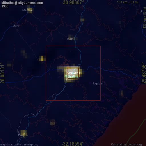
» NASA, Earths city lights 1995
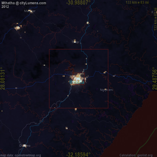
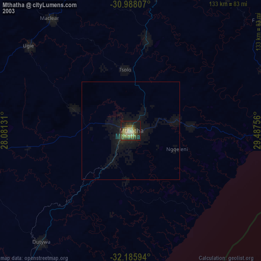
» NASA city lights 2003
» Earth at Night: Flat Maps 2012, 2016