Kokstad night lights from space
Night Light of Kokstad (KwaZulu-Natal) from space (South Africa) Src. Average luminocity for 10x10km area is 17.1007% and for 50x50km: 0.7288%.

Analysis of Kokstad night lights 2016
Square area 10x10 km:
 1.47%
1.47%90-99
2.2%80-89
3.66%70-79
3.48%60-69
2.56%50-59
2.01%40-49
0.73%30-39
1.83%20-29
1.1%10-19
3.66%0-9
77.29%Square area 50x50 km:
0.06%90-99
0.09%80-89
0.15%70-79
0.14%60-69
0.1%50-59
0.08%40-49
0.03%30-39
0.1%20-29
0.04%10-19
0.15%0-9
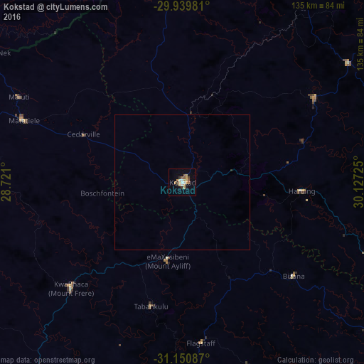
99.07%Clear (daylight) street map image can be seen on geolist.org.
Map coordinates:
29° 56' 23.3" South, 28° 43' 15.6" East
30° 32' 50" South, 29° 25' 26.8" East
31° 9' 3.1" South, 30° 7' 38.1" East
Some cities around Kokstad sort by population:
• Mthatha
130.9 km =81.3 mi,  207°
207°
• Port Shepstone
100.9 km =62.7 mi,  102°
102°
• Margate
97.1 km =60.3 mi,  111°
111°
• Richmond
110.8 km =68.8 mi,  47°
47°
• Mpophomeni
131.3 km =81.6 mi,  33°
33°
• Qacha’s Nek, LS
85.3 km =53 mi,  304°
304°
• Scottburgh
130.7 km =81.2 mi,  77°
77°
• Port Saint John’s
120.2 km =74.7 mi,  174°
174°
988356 (p: 25,373)
Sources (retrieved 2019-11-25):
» Earth at Night: Flat Maps 2012, 2016