Dordrecht night lights from space
Night Light of Dordrecht (Eastern Cape) from space (South Africa) Src. Average luminocity for 10x10km area is 3.7902% and for 50x50km: 0.1722%.
Analysis of Dordrecht night lights 2016
Square area 10x10 km:
 0%
0%90-99
0%80-89
1.05%70-79
1.05%60-69
0.7%50-59
0%40-49
2.1%30-39
0%20-29
0.7%10-19
0.7%0-9
93.71%Square area 50x50 km:
0%90-99
0%80-89
0.04%70-79
0.04%60-69
0.03%50-59
0%40-49
0.09%30-39
0%20-29
0.06%10-19
0.03%0-9
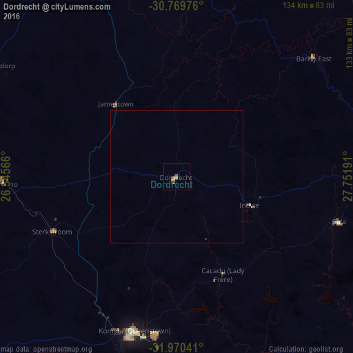
99.71%Clear (daylight) street map image can be seen on geolist.org.
Map coordinates:
30° 46' 11.1" South, 26° 20' 44.4" East
31° 22' 19.2" South, 27° 2' 55.6" East
31° 58' 13.5" South, 27° 45' 6.9" East
Some cities around Dordrecht sort by population:
• Queenstown
60.7 km =37.7 mi,  195°
195°
• Aliwal North
82 km =51 mi,  336°
336°
• Lady Frere
40.7 km =25.3 mi,  154°
154°
• Queensdale
55.9 km =34.7 mi,  186°
186°
• Burgersdorp
80.2 km =49.8 mi,  301°
301°
• Elliot
76.2 km =47.3 mi,  86°
86°
• Ilinge
67.2 km =41.8 mi,  180°
180°
• Molteno
65.2 km =40.5 mi,  267°
267°
1008858 (p: 9,123)
Sources (retrieved 2019-11-25):
» Earth at Night: Flat Maps 2012, 2016