Port Saint John’s night lights from space
Night Light of Port Saint John’s (Eastern Cape) from space (South Africa) Src. Average luminocity for 10x10km area is 0.7308% and for 50x50km: 0.0587%.
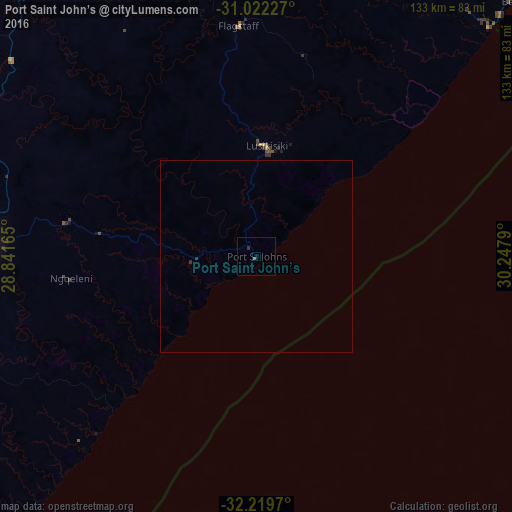
Analysis of Port Saint John’s night lights 2016
Square area 10x10 km:
 0%
0%90-99
0%80-89
0%70-79
0%60-69
0.55%50-59
0.18%40-49
0%30-39
0.73%20-29
0%10-19
0%0-9
98.53%Square area 50x50 km:
0%90-99
0%80-89
0%70-79
0%60-69
0.02%50-59
0.01%40-49
0%30-39
0.07%20-29
0.02%10-19
0%0-9
99.88%Clear (daylight) street map image can be seen on geolist.org.
Map coordinates:
31° 1' 20.2" South, 28° 50' 29.9" East
31° 37' 22.5" South, 29° 32' 41.2" East
32° 13' 10.9" South, 30° 14' 52.4" East
Some cities around Port Saint John’s sort by population:
• Mthatha
72.1 km =44.8 mi,  273°
273°
• Margate
115.3 km =71.6 mi,  42°
42°
• Butterworth
153.3 km =95.3 mi,  239°
239°
• Qacha’s Nek, LS
186.4 km =115.8 mi,  334°
334°
• Kokstad
120.2 km =74.7 mi,  354°
354°
• Scottburgh
188 km =116.8 mi, 37°
• eMkhomazi
197.7 km =122.8 mi, 37°
• Elliot
163.9 km =101.8 mi,  281°
281°
964408 (p: 5,939)
Sources (retrieved 2019-11-25):
» Earth at Night: Flat Maps 2012, 2016