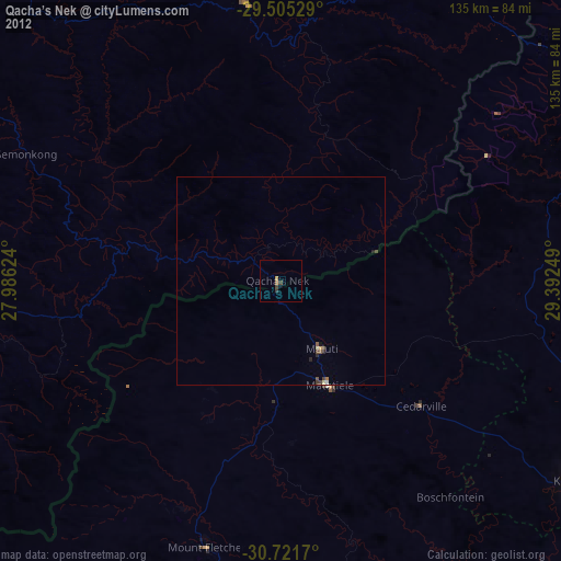
Qacha’s Nek night lights from space
Night Light of Qacha’s Nek (Qachaʼs Nek) from space (Lesotho) Src. Average luminocity for 10x10km area is 0.9394% and for 50x50km: 0.2386%.
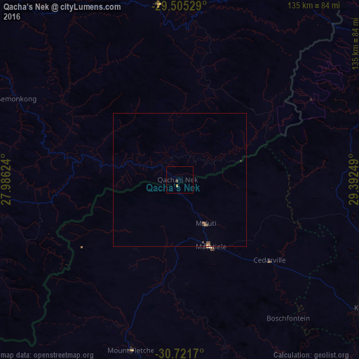
Analysis of Qacha’s Nek night lights 2016
Square area 10x10 km:
 0%
0%90-99
0%80-89
0%70-79
0.76%60-69
0%50-59
0%40-49
0.38%30-39
0.38%20-29
0%10-19
0%0-9
98.48%Square area 50x50 km:
0%90-99
0%80-89
0%70-79
0.09%60-69
0.03%50-59
0.03%40-49
0.13%30-39
0.04%20-29
0.08%10-19
0.01%0-9
99.58%Clear (daylight) street map image can be seen on geolist.org.
Map coordinates:
29° 30' 19" South, 27° 59' 10.5" East
30° 6' 55.3" South, 28° 41' 21.7" East
30° 43' 18.1" South, 29° 23' 33" East
Some cities around Qacha’s Nek sort by population:
• Mafeteng
143.6 km =89.2 mi,  283°
283°
• Mohale’s Hoek
116.7 km =72.5 mi,  268°
268°
• Kokstad, ZA
85.3 km =53 mi,  124°
124°
• Quthing
100.1 km =62.2 mi,  251°
251°
• Nako
104.8 km =65.1 mi,  301°
301°
• Mokhotlong
98.8 km =61.4 mi,  21°
21°
• Thaba-Tseka
66.4 km =41.3 mi,  353°
353°
• Teyateyaneng
140.9 km =87.6 mi,  319°
319°
932218 (p: 25,573)
Sources (retrieved 2019-11-25):
» Earth at Night: Flat Maps 2012, 2016