Quthing night lights from space
Night Light of Quthing from space (Lesotho) Src. Average luminocity for 10x10km area is 3.7473% and for 50x50km: 0.1751%.
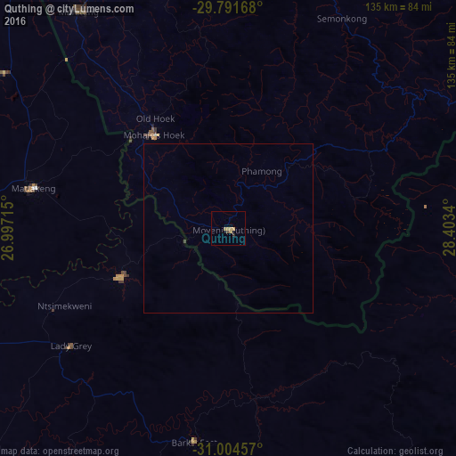
Analysis of Quthing night lights 2016
Square area 10x10 km:
 0%
0%90-99
0%80-89
0%70-79
2.93%60-69
0.73%50-59
0%40-49
0.73%30-39
0%20-29
0.73%10-19
0.73%0-9
94.14%Square area 50x50 km:
0%90-99
0%80-89
0%70-79
0.12%60-69
0.03%50-59
0%40-49
0.03%30-39
0.03%20-29
0.03%10-19
0.03%0-9
99.73%Clear (daylight) street map image can be seen on geolist.org.
Map coordinates:
29° 47' 30" South, 26° 59' 49.7" East
30° 24' 0" South, 27° 42' 1" East
31° 0' 16.5" South, 28° 24' 12.2" East
Some cities around Quthing sort by population:
• Maseru
122.3 km =76 mi,  350°
350°
• Mafeteng
78.1 km =48.5 mi,  325°
325°
• Aliwal North, ZA
100.2 km =62.3 mi,  250°
250°
• Mohale’s Hoek
35 km =21.7 mi,  322°
322°
• Qacha’s Nek
100.1 km =62.2 mi,  71°
71°
• Nako
87.3 km =54.2 mi,  4°
4°
• Zastron, ZA
60.1 km =37.3 mi,  280°
280°
• Elliot, ZA
104.8 km =65.1 mi,  172°
172°
932183 (p: 24,130)
Sources (retrieved 2019-11-25):
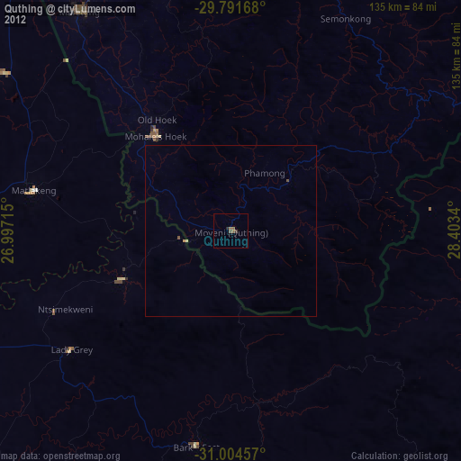
» Earth at Night: Flat Maps 2012, 2016