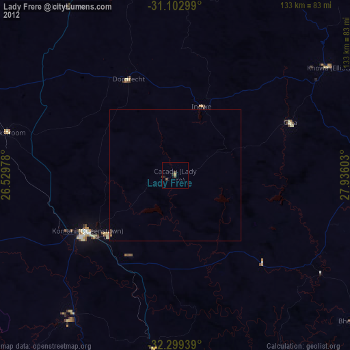
Lady Frere night lights from space
Night Light of Lady Frere (Eastern Cape) from space (South Africa) Src. Average luminocity for 10x10km area is 1.5238% and for 50x50km: 0.1989%.
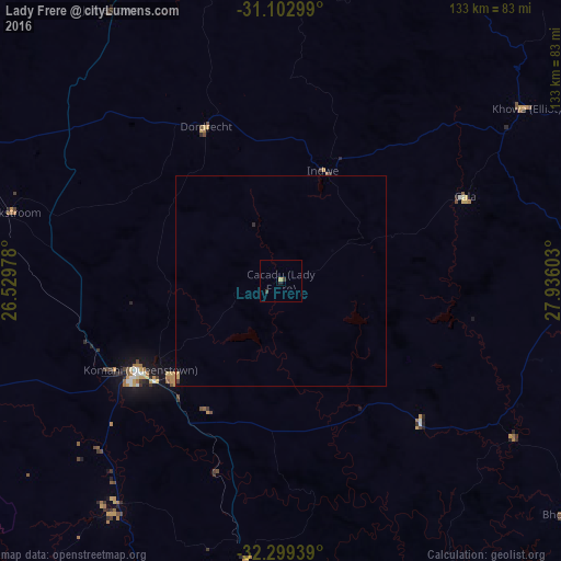
Analysis of Lady Frere night lights 2016
Square area 10x10 km:
 0%
0%90-99
0%80-89
0.37%70-79
0.37%60-69
0%50-59
0%40-49
0.37%30-39
1.1%20-29
0.18%10-19
0.55%0-9
97.07%Square area 50x50 km:
0%90-99
0%80-89
0.04%70-79
0.1%60-69
0%50-59
0%40-49
0.03%30-39
0.06%20-29
0.04%10-19
0.04%0-9
99.7%Clear (daylight) street map image can be seen on geolist.org.
Map coordinates:
31° 6' 10.8" South, 26° 31' 47.2" East
31° 42' 11.2" South, 27° 13' 58.4" East
32° 17' 57.8" South, 27° 56' 9.7" East
Some cities around Lady Frere sort by population:
• Queenstown
40.1 km =24.9 mi,  237°
237°
• Stutterheim
98.1 km =61 mi,  169°
169°
• Queensdale
30.4 km =18.9 mi,  232°
232°
• Whittlesea
65.2 km =40.5 mi,  216°
216°
• Elliot
71.5 km =44.4 mi,  54°
54°
• Ilinge
35.3 km =21.9 mi,  210°
210°
• Molteno
89.2 km =55.4 mi,  292°
292°
• Dordrecht
40.7 km =25.3 mi,  334°
334°
985011 (p: 25,041)
Sources (retrieved 2019-11-25):
» Earth at Night: Flat Maps 2012, 2016