Elliot night lights from space
Night Light of Elliot (Eastern Cape) from space (South Africa) Src. Average luminocity for 10x10km area is 3.9458% and for 50x50km: 0.3813%.
Analysis of Elliot night lights 2016
Square area 10x10 km:
 0%
0%90-99
0%80-89
0%70-79
2.1%60-69
1.05%50-59
0.52%40-49
1.22%30-39
0.7%20-29
0.35%10-19
0%0-9
94.06%Square area 50x50 km:
0%90-99
0.06%80-89
0.04%70-79
0.14%60-69
0.07%50-59
0.05%40-49
0.08%30-39
0.03%20-29
0.06%10-19
0%0-9
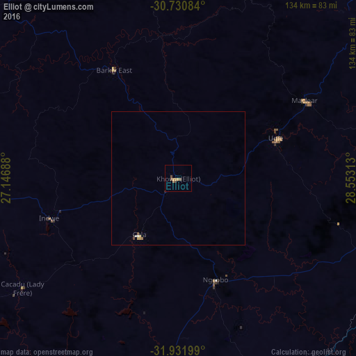
99.47%Clear (daylight) street map image can be seen on geolist.org.
Map coordinates:
30° 43' 51" South, 27° 8' 48.8" East
31° 19' 60" South, 27° 51' 0" East
31° 55' 55.2" South, 28° 33' 11.3" East
Some cities around Elliot sort by population:
• Queenstown
111.6 km =69.3 mi,  235°
235°
• Mthatha
93.1 km =57.8 mi,  107°
107°
• Butterworth
114.5 km =71.1 mi,  165°
165°
• Lady Frere
71.5 km =44.4 mi,  234°
234°
• Quthing, LS
104.8 km =65.1 mi,  352°
352°
• Queensdale
101.9 km =63.3 mi, 234°
• Ilinge
104.7 km =65.1 mi, 226°
• Dordrecht
76.2 km =47.3 mi,  266°
266°
1005781 (p: 11,836)
Sources (retrieved 2019-11-25):
» Earth at Night: Flat Maps 2012, 2016