Ilinge night lights from space
Night Light of Ilinge (Eastern Cape) from space (South Africa) Src. Average luminocity for 10x10km area is 2.0682% and for 50x50km: 2.4274%.
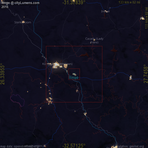
Analysis of Ilinge night lights 2016
Square area 10x10 km:
 0%
0%90-99
0%80-89
0%70-79
0.52%60-69
0.17%50-59
0.7%40-49
1.4%30-39
0.7%20-29
0%10-19
0%0-9
96.5%Square area 50x50 km:
0.16%90-99
0.22%80-89
0.25%70-79
0.61%60-69
0.4%50-59
0.24%40-49
0.32%30-39
0.41%20-29
0.37%10-19
2.08%0-9
94.96%Clear (daylight) street map image can be seen on geolist.org.
Map coordinates:
31° 22' 42.2" South, 26° 20' 22.4" East
31° 58' 36.3" South, 27° 2' 33.6" East
32° 34' 16.5" South, 27° 44' 44.9" East
Some cities around Ilinge sort by population:
• Queenstown
18.1 km =11.2 mi,  299°
299°
• Stutterheim
75.1 km =46.7 mi,  151°
151°
• Lady Frere
35.3 km =21.9 mi,  30°
30°
• Queensdale
13.2 km =8.2 mi,  332°
332°
• Whittlesea
30.2 km =18.8 mi,  222°
222°
• Molteno
91.1 km =56.6 mi,  315°
315°
• Alice
92.2 km =57.3 mi,  192°
192°
• Dordrecht
67.2 km =41.8 mi,  0°
0°
994939 (p: 10,899)
Sources (retrieved 2019-11-25):
» Earth at Night: Flat Maps 2012, 2016