Heidelberg night lights from space
Night Light of Heidelberg (Gauteng) from space (South Africa) Src. Average luminocity for 10x10km area is 37.392% and for 50x50km: 24.5686%.
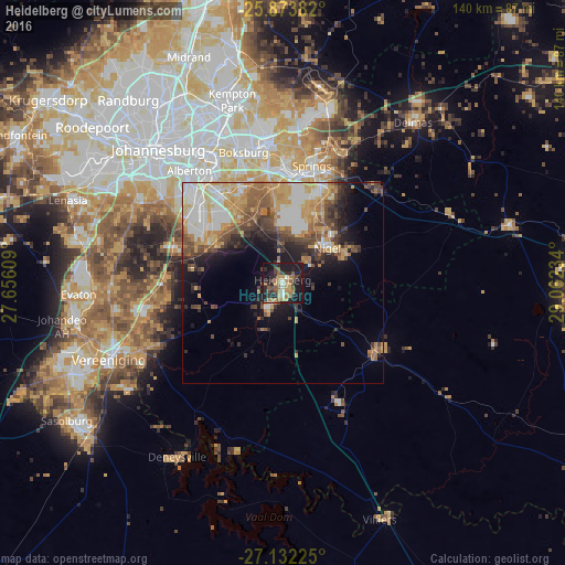
Analysis of Heidelberg night lights 2016
Square area 10x10 km:
 1.7%
1.7%90-99
3.6%80-89
1.7%70-79
8.33%60-69
11.55%50-59
6.44%40-49
5.11%30-39
6.25%20-29
14.96%10-19
36.93%0-9
3.41%Square area 50x50 km:
3.94%90-99
4.3%80-89
3.53%70-79
4.81%60-69
3.61%50-59
3.48%40-49
3.79%30-39
3.02%20-29
4.13%10-19
8.25%0-9
57.14%Clear (daylight) street map image can be seen on geolist.org.
Map coordinates:
25° 52' 25.8" South, 27° 39' 21.9" East
26° 30' 17.1" South, 28° 21' 33.2" East
27° 7' 56.1" South, 29° 3' 44.4" East
Some cities around Heidelberg sort by population:
• Benoni
35.4 km =22 mi,  353°
353°
• Boksburg
34 km =21.1 mi,  343°
343°
• Brakpan
29.8 km =18.5 mi,  1°
1°
• Springs
28.6 km =17.8 mi,  8°
8°
• Nigel
14.3 km =8.9 mi,  55°
55°
• Alberton
35.4 km =22 mi,  318°
318°
• Edenvale
45.4 km =28.2 mi,  333°
333°
• Balfour
29 km =18 mi,  127°
127°
997151 (p: 64,199)
Sources (retrieved 2019-11-25):
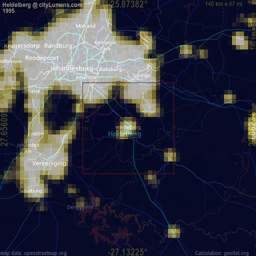
» NASA, Earths city lights 1995
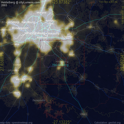
» NASA city lights 2003
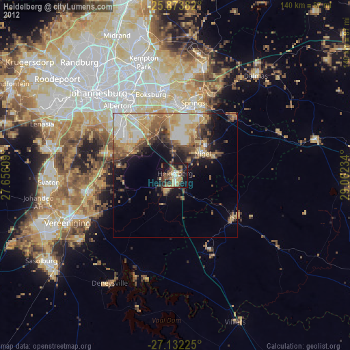
» Earth at Night: Flat Maps 2012, 2016