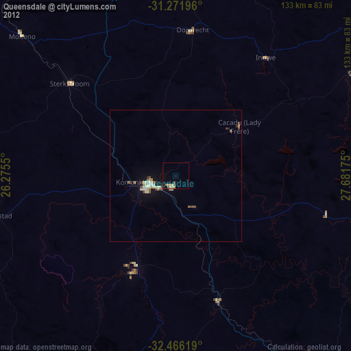
Queensdale night lights from space
Night Light of Queensdale (Eastern Cape) from space (South Africa) Src. Average luminocity for 10x10km area is 6.5201% and for 50x50km: 2.1452%.
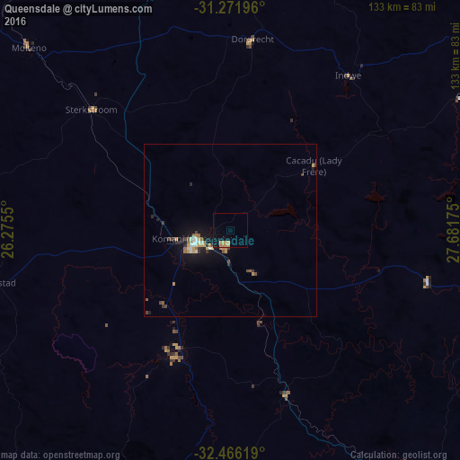
Analysis of Queensdale night lights 2016
Square area 10x10 km:
 0%
0%90-99
0%80-89
1.65%70-79
2.93%60-69
1.28%50-59
0%40-49
0.18%30-39
0.18%20-29
0%10-19
4.95%0-9
88.83%Square area 50x50 km:
0.16%90-99
0.22%80-89
0.22%70-79
0.51%60-69
0.31%50-59
0.2%40-49
0.32%30-39
0.35%20-29
0.27%10-19
2.06%0-9
95.41%Clear (daylight) street map image can be seen on geolist.org.
Map coordinates:
31° 16' 19.1" South, 26° 16' 31.8" East
31° 52' 15.6" South, 26° 58' 43" East
32° 27' 58.3" South, 27° 40' 54.3" East
Some cities around Queensdale sort by population:
• Stutterheim
88.4 km =54.9 mi,  151°
151°
• Lady Frere
30.4 km =18.9 mi,  52°
52°
• Whittlesea
36.9 km =22.9 mi,  203°
203°
• Elliot
101.9 km =63.3 mi, 54°
• Ilinge
13.2 km =8.2 mi, 152°
• Molteno
78.6 km =48.8 mi,  312°
312°
• Alice
102.8 km =63.9 mi,  187°
187°
• Dordrecht
55.9 km =34.7 mi,  6°
6°
963525 (p: 20,009)
Sources (retrieved 2019-11-25):
» Earth at Night: Flat Maps 2012, 2016