Beaufort West night lights from space
Night Light of Beaufort West (Western Cape) from space (South Africa) Src. Average luminocity for 10x10km area is 24.4212% and for 50x50km: 1.0778%.
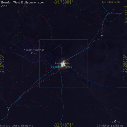
Analysis of Beaufort West night lights 2016
Square area 10x10 km:
 4.76%
4.76%90-99
2.93%80-89
1.28%70-79
5.68%60-69
4.76%50-59
0.37%40-49
2.2%30-39
3.48%20-29
2.56%10-19
21.25%0-9
50.73%Square area 50x50 km:
0.19%90-99
0.12%80-89
0.05%70-79
0.23%60-69
0.19%50-59
0.01%40-49
0.09%30-39
0.17%20-29
0.1%10-19
0.85%0-9
98.01%Clear (daylight) street map image can be seen on geolist.org.
Map coordinates:
31° 45' 38.9" South, 21° 52' 47.4" East
32° 21' 24.2" South, 22° 34' 58.6" East
32° 56' 55.4" South, 23° 17' 9.9" East
Some cities around Beaufort West sort by population:
• Knysna
191.7 km =119.1 mi,  166°
166°
• Graaff-Reinet
183.4 km =114 mi,  86°
86°
• Oudtshoorn
142.8 km =88.7 mi,  194°
194°
• Prince Albert
109.6 km =68.1 mi,  208°
208°
• George
179 km =111.2 mi,  183°
183°
• Ladismith
176.2 km =109.5 mi,  224°
224°
• Willowmore
134.2 km =83.4 mi,  140°
140°
• Carnarvon
160.1 km =99.5 mi,  344°
344°
1020641 (p: 44,737)
Sources (retrieved 2019-11-25):
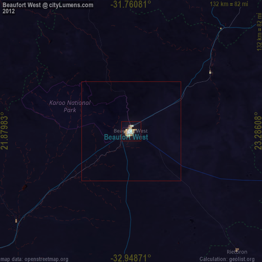
» Earth at Night: Flat Maps 2012, 2016