Carnarvon night lights from space
Night Light of Carnarvon (Northern Cape) from space (South Africa) Src. Average luminocity for 10x10km area is 4.8993% and for 50x50km: 0.1996%.
Analysis of Carnarvon night lights 2016
Square area 10x10 km:
 0%
0%90-99
0%80-89
0.92%70-79
2.01%60-69
0%50-59
0.92%40-49
2.01%30-39
0.73%20-29
0.73%10-19
0.73%0-9
91.94%Square area 50x50 km:
0%90-99
0%80-89
0.04%70-79
0.08%60-69
0%50-59
0.04%40-49
0.08%30-39
0.03%20-29
0.03%10-19
0.03%0-9
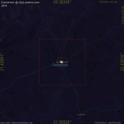
99.67%Clear (daylight) street map image can be seen on geolist.org.
Map coordinates:
30° 21' 48.5" South, 21° 25' 47.7" East
30° 58' 5.8" South, 22° 7' 58.9" East
31° 34' 9.3" South, 22° 50' 10.2" East
Some cities around Carnarvon sort by population:
• Graaff-Reinet
268.2 km =166.7 mi,  122°
122°
• Beaufort West
160.1 km =99.5 mi,  164°
164°
• De Aar
182.9 km =113.6 mi,  78°
78°
• Middelburg
279.3 km =173.5 mi,  102°
102°
• Prince Albert
251.1 km =156 mi,  182°
182°
• Colesberg
284.3 km =176.7 mi, 84°
• Prieska
156 km =96.9 mi,  22°
22°
• Calvinia
231 km =143.5 mi,  256°
256°
1014034 (p: 5,785)
Sources (retrieved 2019-11-25):
» Earth at Night: Flat Maps 2012, 2016